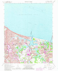
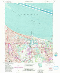
1964 Map of Little Creek
USGS Topo · Published 1980About this map
Norfolk International Airport and its surrounding mid-century residential expansion dominate this coastal landscape, situated along the border of Norfolk City and Virginia Beach City. The map documents a highly developed suburban and military environment, anchored by the U S Naval Reservation Little Creek Amphibious Base and various installations such as the Harbor Defense Unit. Water shapes the geography, from the Chesapeake Bay shoreline to the interior reservoirs like Lake Whitehurst and Lake Smith. Local genealogy and neighborhood history are preserved in the locations of Rosemont Cemetery, Mt Gilead Church, and a dense network of local schools including Pretty Lake School and Azalea Gardens School. The map also captures the sprawling leisure and civic spaces of the era, such as the Norfolk Municipal Azalea Gardens and the Ocean View Golf Course.
Find a feature on this map
97 named features on this map. Tap any name to fly to it.
Don’t see what you’re looking for? This feature index may not catch every label — zoom into the map to look around manually.
Map Details
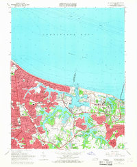
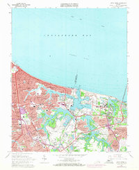
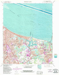
Editions of this 1964 Little Creek Map
5 editions found
Other maps of this area

1907 · Norfolk
USGS Topo · 1:125,000

1907 · Hampton
USGS Topo · 1:62,500

1918 · Cape Henry
USGS Topo · 1:62,500

1919 · Cape Henry
USGS Topo · 1:62,500

1921 · Newport News
USGS Topo · 1:62,500

1943 · Richmond
USGS Topo · 1:250,000

1944 · Hampton
USGS Topo · 1:24,000

1944 · Norfolk South
USGS Topo · 1:25,000

1948 · Norfolk South
USGS Topo · 1:24,000

1948 · Ocean View
USGS Topo · 1:24,000