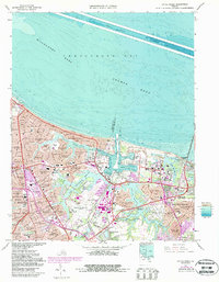
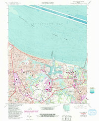
1964 Map of Little Creek
USGS Topo · Published 1987About this map
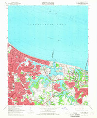
U S Naval Reservation Little Creek Amphibious Base dominates the shoreline where the Chesapeake Bay meets the urban expansion of Norfolk and Virginia Beach City. This mid-century survey documents the dense residential development between the coastal reach of Ocean View and the burgeoning Norfolk International Airport. The landscape is a complex network of man-made and natural water bodies, including Little Creek Reservoir and Whitehurst Reservoir, which separate dozens of mid-century neighborhoods such as Camellia Shores and Roosevelt Gardens. The presence of the Norfolk and Portsmouth Belt Line RR and the massive Chesapeake Bay Bridge-Tunnel highlights the region's critical role as a transportation and military hub. Inland, the map captures established local landmarks like the Norfolk Botanical Gardens and Rosemont Cem, alongside numerous schools such as Norview High Sch that served the post-war suburban boom.
Find a feature on this map
85 named features on this map. Tap any name to fly to it.
Don’t see what you’re looking for? This feature index may not catch every label — zoom into the map to look around manually.
Map Details
Editions of this 1964 Little Creek Map
5 editions found
Other maps of this area

1907 · Norfolk
USGS Topo · 1:125,000

1907 · Hampton
USGS Topo · 1:62,500

1918 · Cape Henry
USGS Topo · 1:62,500

1919 · Cape Henry
USGS Topo · 1:62,500

1921 · Newport News
USGS Topo · 1:62,500

1943 · Richmond
USGS Topo · 1:250,000

1944 · Hampton
USGS Topo · 1:24,000

1944 · Norfolk South
USGS Topo · 1:25,000

1948 · Norfolk South
USGS Topo · 1:24,000

1948 · Ocean View
USGS Topo · 1:24,000