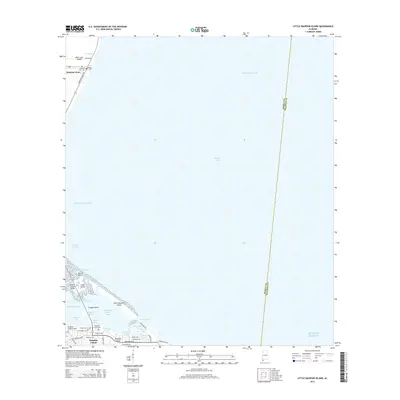
2014 Map of Little Dauphin Island
USGS Topo · Published 2014About this map
Alabama Port and the northern reaches of Dauphin Island anchor this coastal survey, where the intricate geography of the Mobile Bay mouth is documented in detail. The landscape is defined by the transition from Mon Louis Island across the Pass aux Herons to the barrier island settlements below. Significant for maritime and local history, the map traces the Intracoastal Waterway and the deep Mobile Ship Channel, alongside terrestrial landmarks like the Dauphin Island Airport and the long Dauphin Island Bridge. Genealogists will find the locations of Alabama Port Cem, Reeds Cem, and the Dauphin Island Cem clearly marked. The shoreline is a complex of small bays and coves, including Indian Bay, Aloe Bay Channel, and the sheltered waters around Little Dauphin Island, illustrating the area's ongoing relationship with the Gulf of Mexico.
Find a feature on this map
48 named features on this map. Tap any name to fly to it.
Don’t see what you’re looking for? This feature index may not catch every label — zoom into the map to look around manually.
Map Details
Editions of this 2014 Little Dauphin Island Map
This is the sole edition of this map. No revisions or reprints were ever made.
Other maps of this area

1921 · Point Clear
USGS Topo · 1:62,500

1921 · Dauphin Island
USGS Topo · 1:62,500

1921 · Delchamps
USGS Topo · 1:62,500

1941 · Cedar Point
USGS Topo · 1:62,500

1941 · Weeks Bay
USGS Topo · 1:62,500

1942 · Fort Morgan
USGS Topo · 1:62,500

1943 · Cedar Point
USGS Topo · 1:62,500

1943 · Weeks Bay
USGS Topo · 1:62,500

1953 · Mobile
USGS Topo · 1:250,000
1956 · Point Clear
USGS Topo · 1:24,000