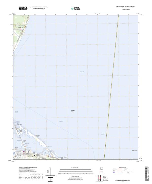
2024 Map of Little Dauphin Island
USGS Topo · Published 2024About this map
Dauphin Island anchors the southern landscape of this coastal survey, where the Gulf-facing barrier island meets the sheltered waters of Mobile Bay. The western end of the island shows a developed street grid including Bienville Blvd and Cadillac Ave, serving the local community and the Jeremiah Denton Airport. To the north, the Dauphin Island Brg connects the island to Mon Louis Island and the mainland community of Alabama Port.
Find a feature on this map
50 named features on this map. Tap any name to fly to it.
Don’t see what you’re looking for? This feature index may not catch every label — zoom into the map to look around manually.
Map Details
Editions of this 2024 Little Dauphin Island Map
This is the sole edition of this map. No revisions or reprints were ever made.
Other maps of this area

1921 · Point Clear
USGS Topo · 1:62,500

1921 · Dauphin Island
USGS Topo · 1:62,500

1921 · Delchamps
USGS Topo · 1:62,500

1941 · Cedar Point
USGS Topo · 1:62,500

1941 · Weeks Bay
USGS Topo · 1:62,500

1942 · Fort Morgan
USGS Topo · 1:62,500

1943 · Cedar Point
USGS Topo · 1:62,500

1943 · Weeks Bay
USGS Topo · 1:62,500

1953 · Mobile
USGS Topo · 1:250,000
1956 · Point Clear
USGS Topo · 1:24,000