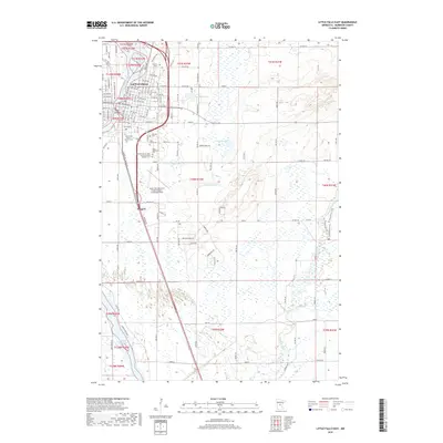
2019 Map of Little Falls East
USGS Topo · Published 2019About this map
The Mississippi River carves through the landscape of Little Falls, shaping the local geography around Mill Island and the neighboring settlement of Gregory. This Morrison County landscape is notably dense with commemorative and religious sites, particularly along the southern periphery of the city. Here, researchers can locate a cluster of historic burial grounds including the Sacred Heart of Jesus Polish National Catholic Cem, Saint Adalberts Cem, and the Franciscan Sisters Convent Cem.
Find a feature on this map
119 named features on this map. Tap any name to fly to it.
Don’t see what you’re looking for? This feature index may not catch every label — zoom into the map to look around manually.
Map Details
Editions of this 2019 Little Falls East Map
This is the sole edition of this map. No revisions or reprints were ever made.
Other maps of this area

1948 · Belle Prairie
USGS Topo · 1:62,500

1948 · Pierz
USGS Topo · 1:62,500

1948 · Lastrup
USGS Topo · 1:62,500

1948 · Little Falls
USGS Topo · 1:62,500

1950 · Lastrup
USGS Topo · 1:62,500

1950 · Belle Prairie
USGS Topo · 1:62,500

1950 · Little Falls
USGS Topo · 1:62,500

1950 · Pierz
USGS Topo · 1:62,500

1953 · Brainerd
USGS Topo · 1:250,000

1953 · Saint Cloud
USGS Topo · 1:250,000
Featured Places
- Little Falls, MN
- Gregory, MN
- Maple Leaf Court, Little Falls
- Suburban Mobile Home Park, Little Falls
- Morrison County, MN