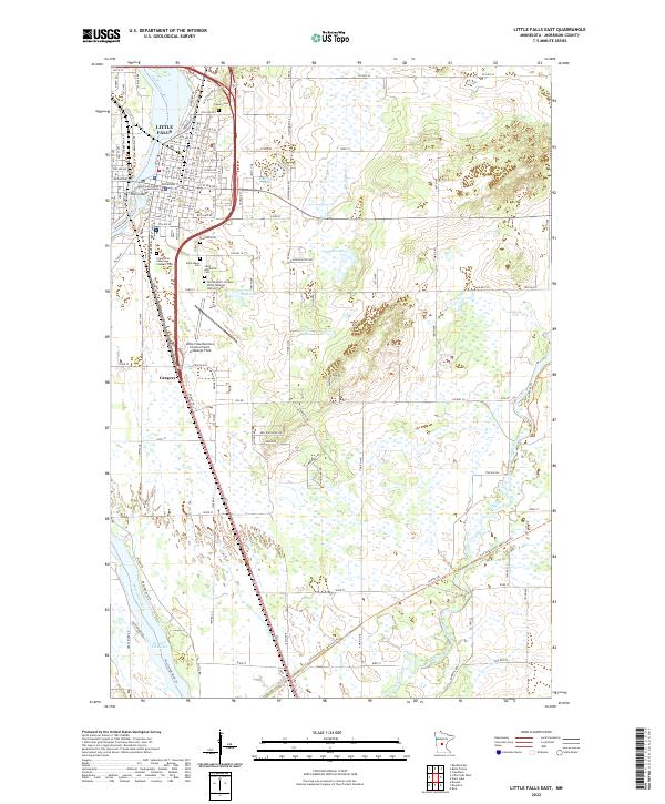
2022 Map of Little Falls East
USGS Topo · Published 2022About this map
Little Falls serves as the focal point for this survey of central Minnesota, where the Mississippi River carves through the landscape, creating distinctive features like Mill Island. The town's civic and cultural heart is represented by the Morrison County Courthouse, while the surrounding area is notable for its dense concentration of religious and community burial grounds, including the Sacred Heart of Jesus Polish National Catholic Cem and the Franciscan Sisters Convent Cem.
Find a feature on this map
140 named features on this map. Tap any name to fly to it.
Don’t see what you’re looking for? This feature index may not catch every label — zoom into the map to look around manually.
Map Details
Editions of this 2022 Little Falls East Map
This is the sole edition of this map. No revisions or reprints were ever made.
Other maps of this area

1948 · Belle Prairie
USGS Topo · 1:62,500

1948 · Pierz
USGS Topo · 1:62,500

1948 · Lastrup
USGS Topo · 1:62,500

1948 · Little Falls
USGS Topo · 1:62,500

1950 · Lastrup
USGS Topo · 1:62,500

1950 · Belle Prairie
USGS Topo · 1:62,500

1950 · Little Falls
USGS Topo · 1:62,500

1950 · Pierz
USGS Topo · 1:62,500

1953 · Brainerd
USGS Topo · 1:250,000

1953 · Saint Cloud
USGS Topo · 1:250,000
Featured Places
- Little Falls, MN
- Gregory, MN
- Maple Leaf Court, Little Falls
- Suburban Mobile Home Park, Little Falls
- Morrison County, MN