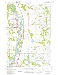
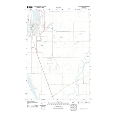
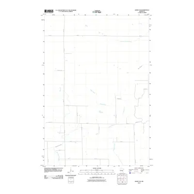
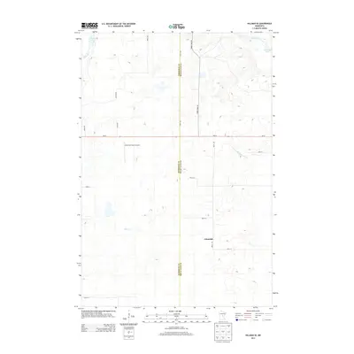
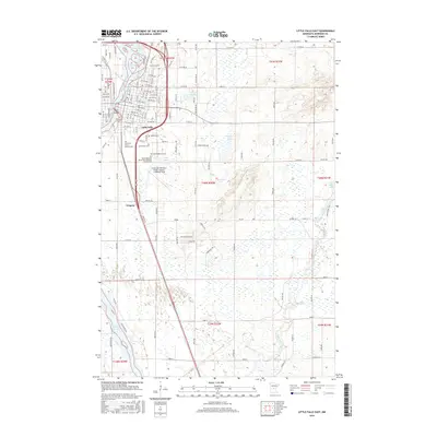
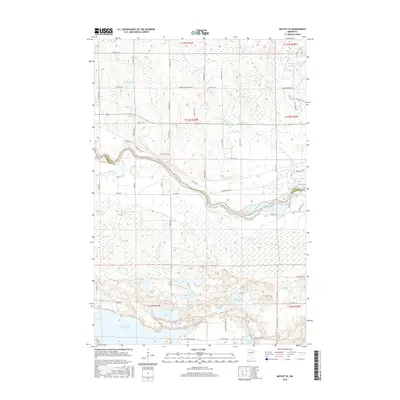
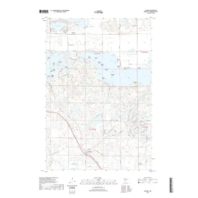
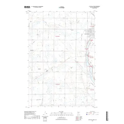
1978 Map of Little Falls East
USGS Topo · Published 1995About this map
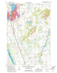
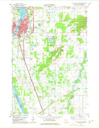
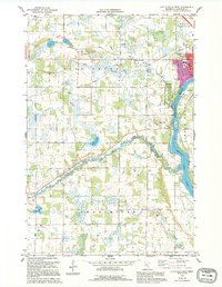
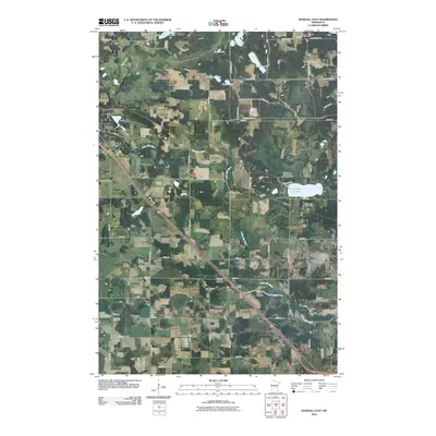
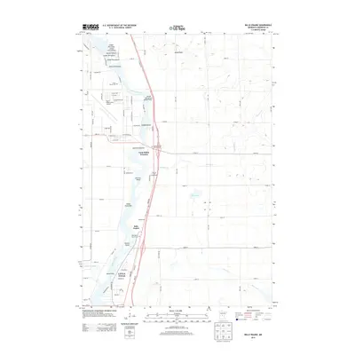
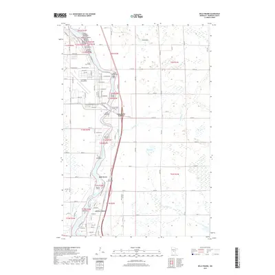
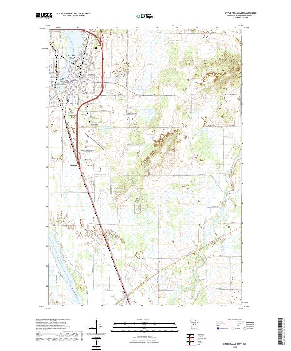
Little Falls serves as the focal point for this survey, positioned where the Mississippi River creates a natural corridor through Morrison County. The town's civic core is well-defined, showing the City Hall, Library, and Courthouse near the riverbanks. Educational and religious institutions are particularly dense here, including the Charles A Lindbergh Sch and St Marys Ch, alongside several cemeteries like Calvary Cem and St Adalberts Cem that provide valuable data for genealogists.
Find a feature on this map
48 named features on this map. Tap any name to fly to it.
Don’t see what you’re looking for? This feature index may not catch every label — zoom into the map to look around manually.
Map Details
Editions of this 1978 Little Falls East Map
2 editions found
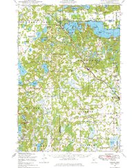
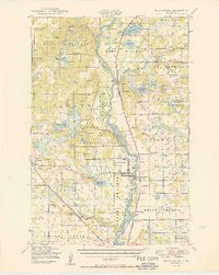
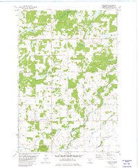
Historical Maps of Little Falls Through Time
82 maps found

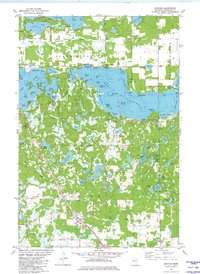
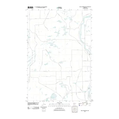
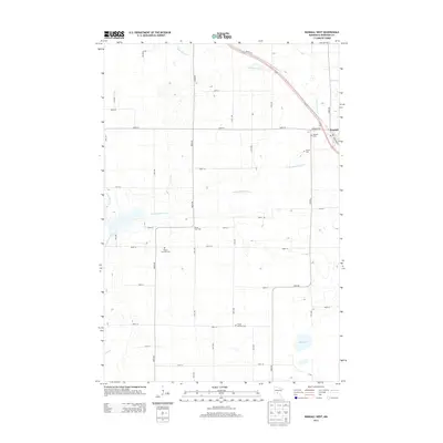
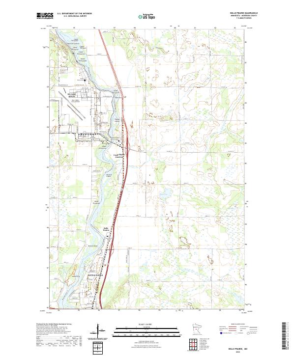
1948 Belle Prairie
Morrison County, MN
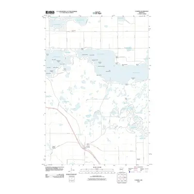
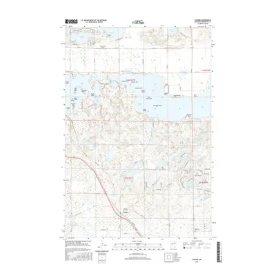
1948 Cushing
Morrison County, MN
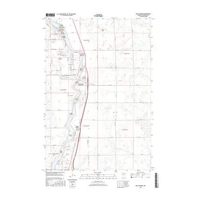
1950 Belle Prairie
Morrison County, MN

1950 Cushing
Morrison County, MN
1956 Belle Prairie
Morrison County, MN
1956 Belle Prairie NW
Morrison County, MN
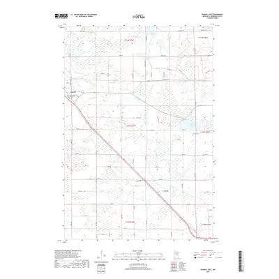
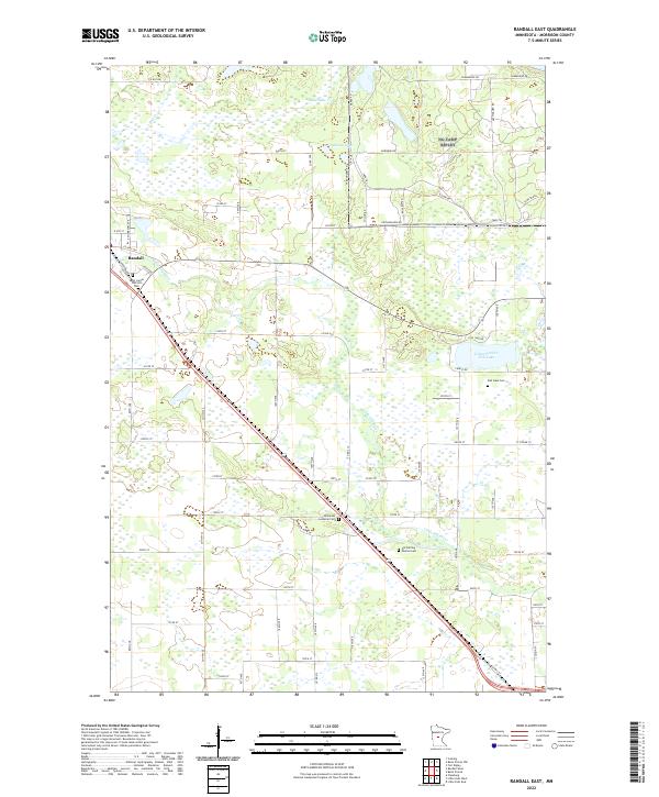
1956 Randall East
Morrison County, MN
1963 Motley SE
Morrison County, MN
1968 Hillman SE
Morrison County, MN

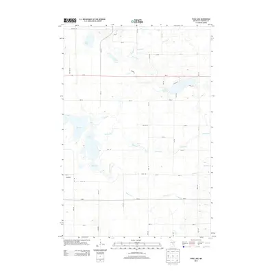
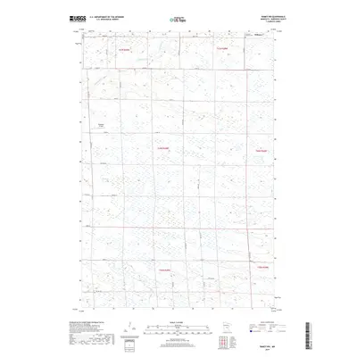
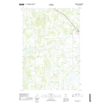
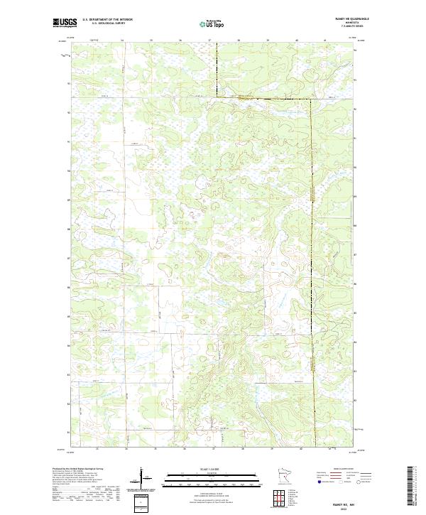
1968 Ramey NE
Morrison County, MN
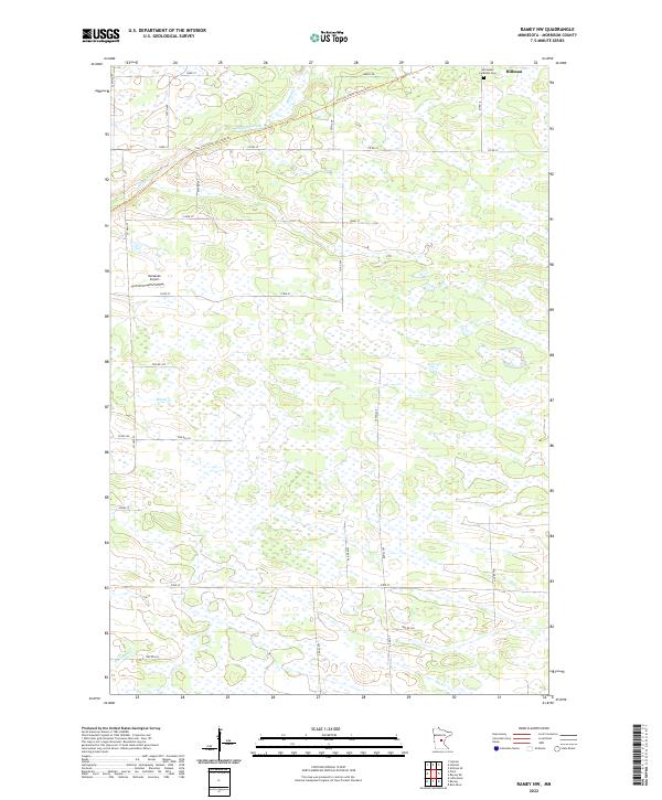
1968 Ramey NW
Morrison County, MN
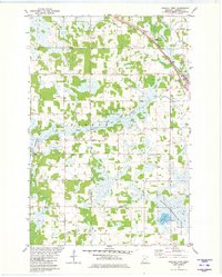
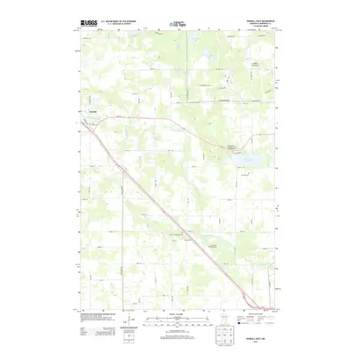
1978 Little Falls East
Morrison County, MN
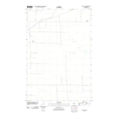
1978 Little Falls West
Morrison County, MN
1978 Pierz Lake
Morrison County, MN
1981 Cushing
Morrison County, MN
1981 Freedhem
Morrison County, MN
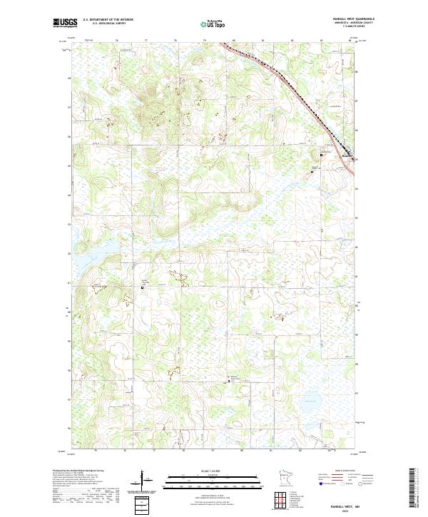
1981 Randall West
Morrison County, MN
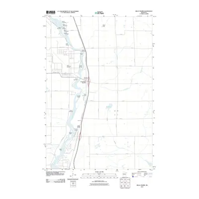
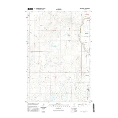
2010 Belle Prairie
Morrison County, MN
2010 Belle Prairie NW
Morrison County, MN
2010 Cushing
Morrison County, MN
2010 Freedhem
Morrison County, MN
2010 Hillman SE
Morrison County, MN
2010 Little Falls East
Morrison County, MN
2010 Little Falls West
Morrison County, MN
2010 Motley SE
Morrison County, MN
2010 Pierz Lake
Morrison County, MN
2010 Ramey NE
Morrison County, MN
2010 Ramey NW
Morrison County, MN
2010 Randall East
Morrison County, MN
2010 Randall West
Morrison County, MN
2013 Belle Prairie
Morrison County, MN
2013 Belle Prairie NW
Morrison County, MN
2013 Cushing
Morrison County, MN
2013 Freedhem
Morrison County, MN
2013 Hillman SE
Morrison County, MN
2013 Little Falls East
Morrison County, MN
2013 Little Falls West
Morrison County, MN
2013 Motley SE
Morrison County, MN
2013 Pierz Lake
Morrison County, MN
2013 Ramey NE
Morrison County, MN
2013 Ramey NW
Morrison County, MN
2013 Randall East
Morrison County, MN
2013 Randall West
Morrison County, MN
2016 Belle Prairie
Morrison County, MN
2016 Belle Prairie NW
Morrison County, MN
2016 Cushing
Morrison County, MN
2016 Freedhem
Morrison County, MN
2016 Hillman SE
Morrison County, MN
2016 Little Falls East
Morrison County, MN
2016 Little Falls West
Morrison County, MN
2016 Motley SE
Morrison County, MN
2016 Pierz Lake
Morrison County, MN
2016 Ramey NE
Morrison County, MN
2016 Ramey NW
Morrison County, MN
2016 Randall East
Morrison County, MN
2016 Randall West
Morrison County, MN
2019 Belle Prairie
Morrison County, MN
2019 Belle Prairie NW
Morrison County, MN
2019 Cushing
Morrison County, MN
2019 Freedhem
Morrison County, MN
2019 Hillman SE
Morrison County, MN
2019 Little Falls East
Morrison County, MN
2019 Little Falls West
Morrison County, MN
2019 Motley SE
Morrison County, MN
2019 Pierz Lake
Morrison County, MN
2019 Ramey NE
Morrison County, MN
2019 Ramey NW
Morrison County, MN
2019 Randall East
Morrison County, MN
2019 Randall West
Morrison County, MN
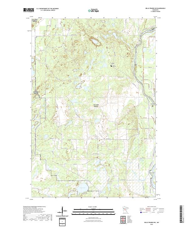
2022 Belle Prairie
Morrison County, MN
2022 Belle Prairie NW
Morrison County, MN
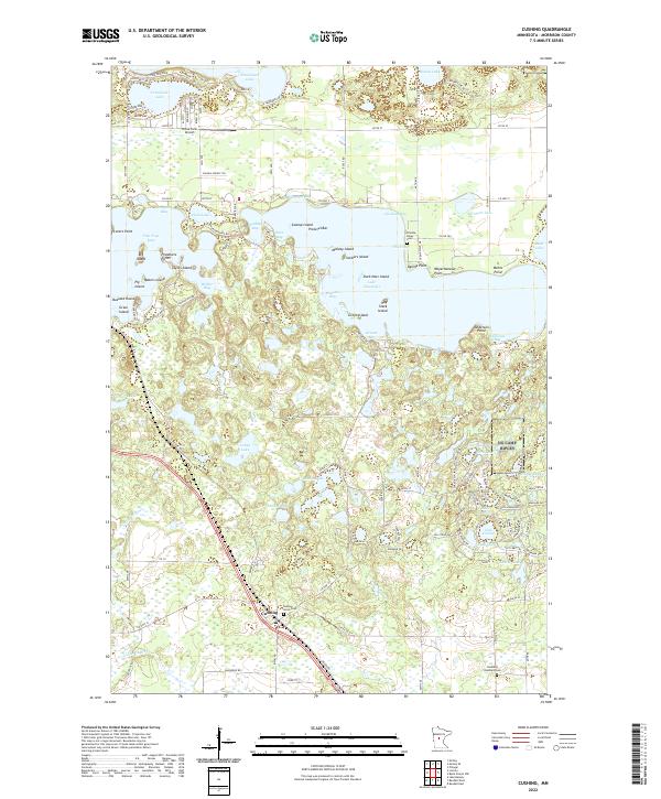
2022 Cushing
Morrison County, MN
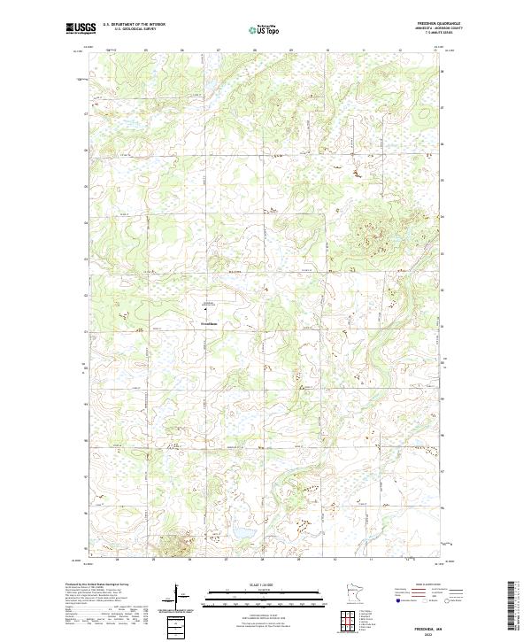
2022 Freedhem
Morrison County, MN
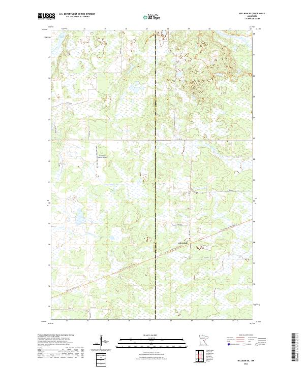
2022 Hillman SE
Morrison County, MN
2022 Little Falls East
Morrison County, MN
2022 Little Falls West
Morrison County, MN
2022 Motley SE
Morrison County, MN
2022 Pierz Lake
Morrison County, MN
2022 Ramey NE
Morrison County, MN
2022 Ramey NW
Morrison County, MN
2022 Randall East
Morrison County, MN
2022 Randall West
Morrison County, MN
Featured Locations
- Morrison County, MN
- Gregory, MN
- Little Falls, MN
- Suburban Mobile Home Park, Little Falls
- Maple Leaf Court, Little Falls