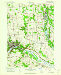
1943 Map of Little Falls
USGS Topo · Published 1960About this map
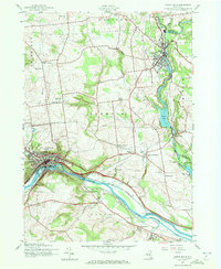
Industrial and maritime activity defines this stretch of the Mohawk Valley during the early 1940s. The Mohawk River serves as the primary corridor for transportation, paralleled by the Barge Canal and the New York Central railroad lines. The city of Little Falls anchors the west, where terrain drops sharply toward the river, while Dolgeville sits to the north along Spruce Creek. Smaller rural hubs like Ingham Mills and Manheim Center provide a look at the inland agricultural landscape between the major water routes.
Find a feature on this map
53 named features on this map. Tap any name to fly to it.
Don’t see what you’re looking for? This feature index may not catch every label — zoom into the map to look around manually.
Map Details
Editions of this 1943 Little Falls Map
2 editions found
Other maps of this area

1898 · Canajoharie
USGS Topo · 1:62,500

1900 · Little Falls
USGS Topo · 1:62,500

1900 · Canajoharie
USGS Topo · 1:62,500

1901 · Lassellsville
USGS Topo · 1:62,500

1902 · Canajoharie
USGS Topo · 1:62,500

1903 · Richfield Springs
USGS Topo · 1:62,500

1903 · Lassellsville
USGS Topo · 1:62,500

1903 · Little Falls
USGS Topo · 1:62,500

1939 · Little Falls
USGS Topo · 1:62,500

1943 · Jordanville
USGS Topo · 1:24,000