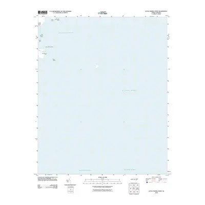
2010 Map of Little Fishing Point
USGS Topo · Published 2010About this map
Middle Bay and the vast Atlantic Ocean dominate this coastal quadrangle, which documents the fragile interface of land and sea in Carteret County. The shoreline is defined by a series of prominent marshy points, including Oyster Creek Point, Deep Point, and Middle Bay Point. To the south, the terrain fragments into smaller landforms such as Sow Island and Sow Island Point. This map provides a clear record of the maritime topography before further coastal shift, capturing the specific locations of Big Fishing Point, Canal Point, and the eponymous Little Fishing Point. The lack of inland development emphasizes the area's significance as a natural aquatic environment.
Find a feature on this map
10 named features on this map. Tap any name to fly to it.
Don’t see what you’re looking for? This feature index may not catch every label — zoom into the map to look around manually.
Map Details
Editions of this 2010 Little Fishing Point Map
This is the sole edition of this map. No revisions or reprints were ever made.
Other maps of this area

1948 · North Bay
USGS Topo · 1:24,000

1949 · Point Of Marsh
USGS Topo · 1:24,000

1950 · North Bay
USGS Topo · 1:24,000

1950 · Point Of Marsh
USGS Topo · 1:24,000

1950 · Lowland
USGS Topo · 1:24,000

1950 · Jones Bay
USGS Topo · 1:24,000

1951 · Brant Island
USGS Topo · 1:24,000

1951 · Broad Creek
USGS Topo · 1:24,000

1951 · Pamlico Point
USGS Topo · 1:24,000

1951 · Great Island
USGS Topo · 1:24,000