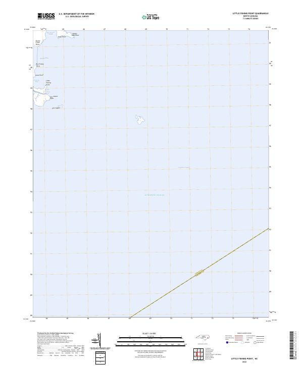
2022 Map of Little Fishing Point
USGS Topo · Published 2022About this map
Sow Island and a series of low-lying coastal fingers define this shoreline where the waters of the Pamlico Sound meet the open Atlantic Ocean. The geography is characterized by a high density of named points and small inlets, such as Big Fishing Point, Little Fishing Point, and Canal Point, indicating a coastline shaped by maritime navigation and local fishing activity. The map captures the boundary line between Pamlico and Carteret counties as it strikes across the water, emphasizing the region's shared aquatic borders.
Find a feature on this map
15 named features on this map. Tap any name to fly to it.
Don’t see what you’re looking for? This feature index may not catch every label — zoom into the map to look around manually.
Map Details
Editions of this 2022 Little Fishing Point Map
This is the sole edition of this map. No revisions or reprints were ever made.
Other maps of this area

1948 · North Bay
USGS Topo · 1:24,000

1949 · Point Of Marsh
USGS Topo · 1:24,000

1950 · North Bay
USGS Topo · 1:24,000

1950 · Point Of Marsh
USGS Topo · 1:24,000

1950 · Lowland
USGS Topo · 1:24,000

1950 · Jones Bay
USGS Topo · 1:24,000

1951 · Brant Island
USGS Topo · 1:24,000

1951 · Broad Creek
USGS Topo · 1:24,000

1951 · Pamlico Point
USGS Topo · 1:24,000

1951 · Great Island
USGS Topo · 1:24,000