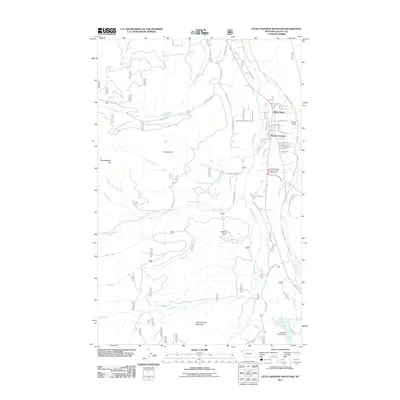
2011 Map of Little Hoodoo Mountain
USGS Topo · Published 2011About this map
White Haven and Pioneer Junction anchor the residential expansion just south of Libby during the early 21st century. This landscape is defined by its transition from the built-up corridors of Granite Ave and Spencer Hill Ave into the steep drainages of the Cabinet Mountains. The network of timber and access roads, such as Champion Haul Rd and Flower Lake Rd, illustrates the ongoing intersection of local industry and the surrounding wilderness. Notable water features like Big Cherry Creek and the Double N Lake, controlled by the Double N Ranch Dam, highlight the management of local resources for agriculture and recreation. From the heights of Little Hoodoo Mountain to the depths of Swede Gulch, the map details a region balancing modern rural infrastructure, including the Libby Vol Fire Dept Lincoln Co Rural Fire Dist Sta 3, with its rugged environmental character.
Find a feature on this map
61 named features on this map. Tap any name to fly to it.
Don’t see what you’re looking for? This feature index may not catch every label — zoom into the map to look around manually.
Map Details
Editions of this 2011 Little Hoodoo Mountain Map
This is the sole edition of this map. No revisions or reprints were ever made.
Other maps of this area

1920 · Libby
USGS Topo · 1:125,000

1920 · Jennings
USGS Topo · 1:125,000

1930 · Libby
USGS Topo · 1:125,000

1932 · Libby
USGS Topo · 1:125,000

1935 · Thompson Lakes
USGS Topo · 1:96,000

1942 · Thompson Lakes
USGS Topo · 1:125,000

1957 · Kalispell
USGS Topo · 1:250,000

1960 · Kalispell
USGS Topo · 1:250,000

1961 · Kalispell
USGS Topo · 1:250,000

1963 · Scenery Mountain
USGS Topo · 1:24,000