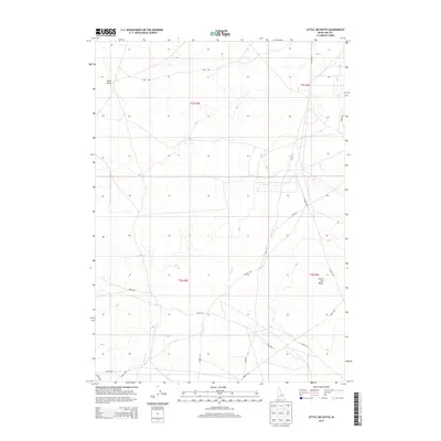
2013 Map of Little Joe Butte
USGS Topo · Published 2013About this map
Wind Butte and Little Joe Butte dominate this high desert landscape in Ada County, where the terrain is defined by volcanic features and ephemeral drainages. The map reveals a systematic grid of section boundaries and access routes, including the long stretches of Range Rd and S Range Rd that navigate the open country. These roads, along with others like Hays Rd and Lewis Rd, reflect the region's ranching or land management heritage, providing access to the expansive grazing allotments and public lands of southern Idaho.
Find a feature on this map
16 named features on this map. Tap any name to fly to it.
Don’t see what you’re looking for? This feature index may not catch every label — zoom into the map to look around manually.
Map Details
Editions of this 2013 Little Joe Butte Map
This is the sole edition of this map. No revisions or reprints were ever made.
Other maps of this area

1892 · Mountain Home
USGS Topo · 1:125,000

1892 · Bisuka
USGS Topo · 1:125,000

1893 · Mountain Home
USGS Topo · 1:125,000

1894 · Bisuka
USGS Topo · 1:125,000

1947 · Jackass Butte
USGS Topo · 1:24,000

1947 · Dorsey Butte
USGS Topo · 1:24,000

1948 · Big Foot Butte
USGS Topo · 1:24,000

1948 · Jackass Butte
USGS Topo · 1:24,000

1948 · Dorsey Butte
USGS Topo · 1:24,000

1948 · Big Foot Butte
USGS Topo · 1:62,500