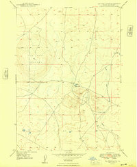
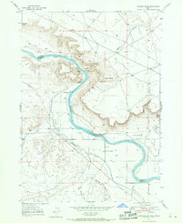
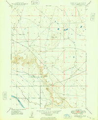
1948 Map of Big Foot Butte
USGS Topo · Published 1948About this map
Big Foot Butte dominates this 1940s landscape in Ada County, rising as a prominent volcanic landmark above the high desert floor. The terrain is defined by its arid drainage patterns and isolated water sources, most notably the seasonal Tadpole Lake and the intermittent Rabbit Creek which winds through the eastern portion of the quadrangle. Surveyed just after the war, the map reveals a sparsely settled region primarily occupied by a network of unimproved roads and survey benchmarks such as Bm 3151 and Bm 3163. The presence of Wind Butte Lakes in the northeast corner and the central peak of Big Foot Butte—marked by the Vabm 3535 triangulation station—illustrates the characteristic topography of Idaho's Snake River Plain, where volcanic features and catch basins dictate the movement and survival of livestock and travelers.
Find a feature on this map
9 named features on this map. Tap any name to fly to it.
Don’t see what you’re looking for? This feature index may not catch every label — zoom into the map to look around manually.
Map Details
Editions of this 1948 Big Foot Butte Map
4 editions found
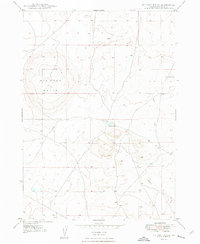
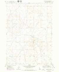
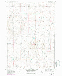
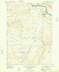
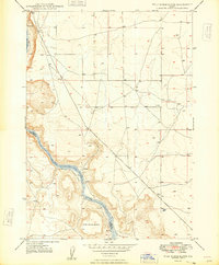
Other maps of this area

1892 · Bisuka
USGS Topo · 1:125,000

1894 · Bisuka
USGS Topo · 1:125,000
1947 · Jackass Butte
USGS Topo · 1:24,000
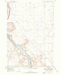
1947 · Wild Horse Butte
USGS Topo · 1:24,000

1947 · Dorsey Butte
USGS Topo · 1:24,000
1948 · Castle Butte
USGS Topo · 1:24,000
1948 · Wild Horse Butte
USGS Topo · 1:24,000
1948 · Jackass Butte
USGS Topo · 1:24,000
1948 · Dorsey Butte
USGS Topo · 1:24,000
1948 · Big Foot Butte
USGS Topo · 1:62,500