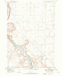
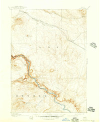
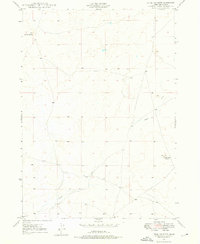
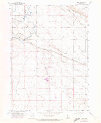
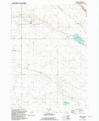
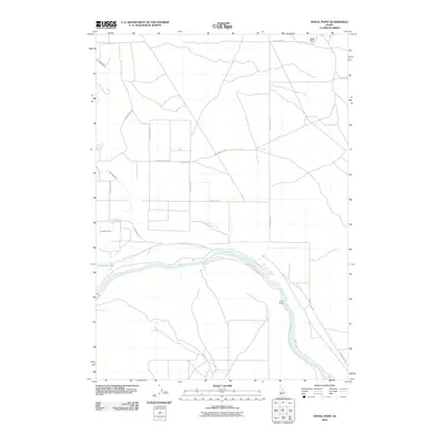
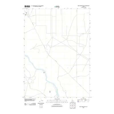
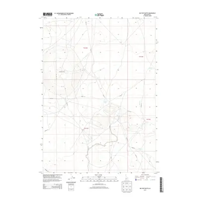
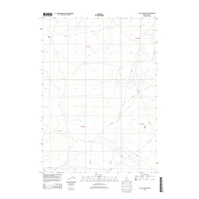
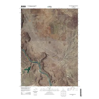
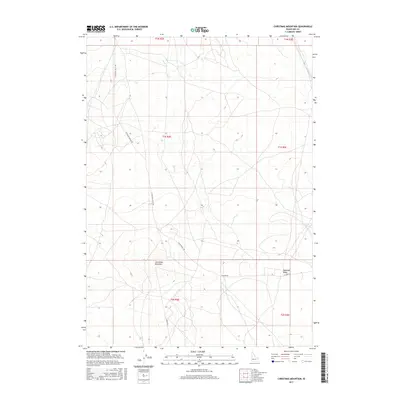
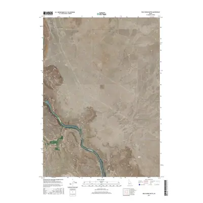
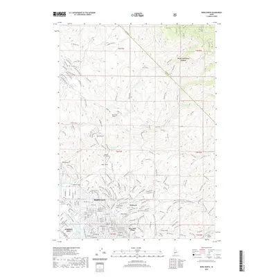
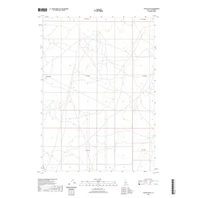
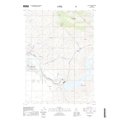
1947 Map of Wild Horse Butte
USGS Topo · Published 1973About this map
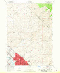
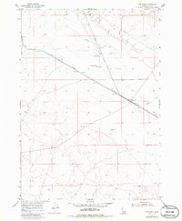
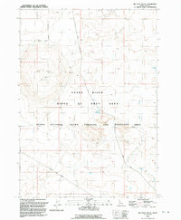
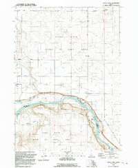
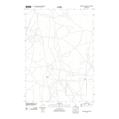
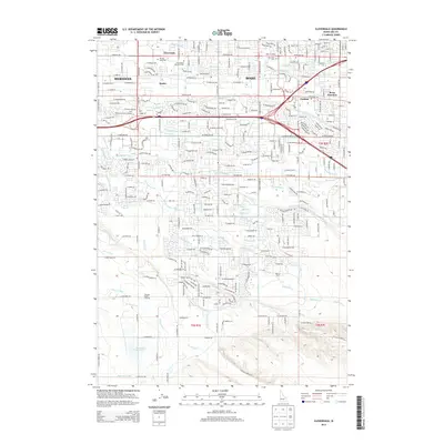
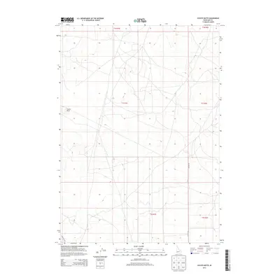
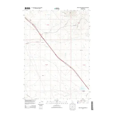
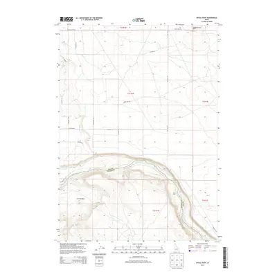
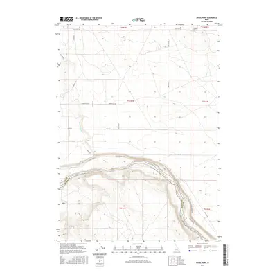
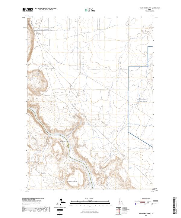
Wild Horse Butte rises above the canyon floor in this post-war Idaho landscape, marking a prominent bend in the Snake River. The terrain is defined by the sharp contrast between the high desert plateaus and the deep river gorge, which serves as the border between Ada Co and Owyhee Co. Evidence of early river crossings and water access is scattered throughout the canyon, including a Ferry located near Swan Falls at the northern edge of the sheet. Along the riverbanks, distinct topographical benches like Thomas Flats and Big Foot Bar offer glimpses into the unique landforms of the Snake River Plain. Small water sources, including Fossil Cr and various Springs, are precious landmarks in this arid environment, showing the natural points of interest for early settlers and travelers through the region.
Find a feature on this map
10 named features on this map. Tap any name to fly to it.
Don’t see what you’re looking for? This feature index may not catch every label — zoom into the map to look around manually.
Map Details
Editions of this 1947 Wild Horse Butte Map
This is the sole edition of this map. No revisions or reprints were ever made.
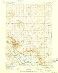
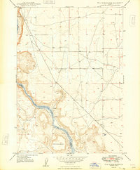
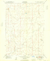
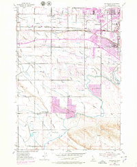
Historical Maps of Ada County Through Time
103 maps found

1892 Bisuka
Ada County, ID
1894 Bisuka
Ada County, ID
1947 Wild Horse Butte
Ada County, ID
1948 Big Foot Butte
Ada County, ID
1948 Big Foot Butte
Ada County, ID
1948 Little Joe Butte
Ada County, ID
1948 Wild Horse Butte
Ada County, ID
1949 Little Joe Butte
Ada County, ID
1953 Cloverdale
Ada County, ID
1954 Boise North
Ada County, ID
1954 Boise South
Ada County, ID
1955 Christmas Mtn
Ada County, ID
1955 Coyote Butte
Ada County, ID
1955 Orchard
Ada County, ID
1957 Indian Creek Reservoir
Ada County, ID
1957 Initial Point
Ada County, ID
1957 Owyhee
Ada County, ID
1958 Mora
Ada County, ID
1972 Boise North
Ada County, ID
1972 Boise South
Ada County, ID
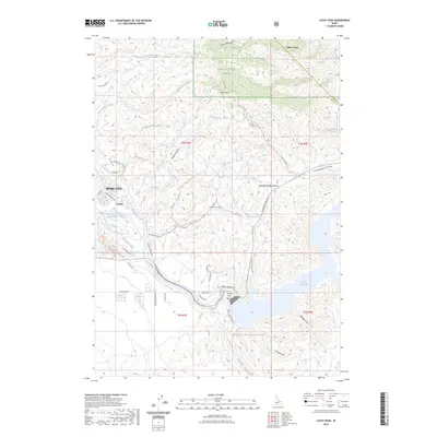
1972 Lucky Peak
Ada County, ID
1992 Big Foot Butte
Ada County, ID
1992 Christmas Mountain
Ada County, ID
1992 Coyote Butte
Ada County, ID
1992 Indian Creek Reservoir
Ada County, ID
1992 Initial Point
Ada County, ID
1992 Little Joe Butte
Ada County, ID
1992 Mora
Ada County, ID
1992 Orchard
Ada County, ID
1992 Owyhee
Ada County, ID
1992 Wild Horse Butte
Ada County, ID
1998 Cloverdale
Ada County, ID
2010 Boise South
Ada County, ID
2010 Christmas Mountain
Ada County, ID
2010 Cloverdale
Ada County, ID
2010 Coyote Butte
Ada County, ID
2010 Indian Creek Reservoir
Ada County, ID
2010 Initial Point
Ada County, ID
2010 Little Joe Butte
Ada County, ID

2010 Mora
Ada County, ID
2010 Orchard
Ada County, ID
2010 Owyhee
Ada County, ID
2010 Wild Horse Butte
Ada County, ID
2011 Big Foot Butte
Ada County, ID
2011 Boise North
Ada County, ID
2011 Lucky Peak
Ada County, ID
2013 Big Foot Butte
Ada County, ID
2013 Boise North
Ada County, ID
2013 Boise South
Ada County, ID
2013 Christmas Mountain
Ada County, ID
2013 Cloverdale
Ada County, ID
2013 Coyote Butte
Ada County, ID
2013 Indian Creek Reservoir
Ada County, ID
2013 Initial Point
Ada County, ID
2013 Little Joe Butte
Ada County, ID
2013 Lucky Peak
Ada County, ID

2013 Mora
Ada County, ID
2013 Orchard
Ada County, ID
2013 Owyhee
Ada County, ID
2013 Wild Horse Butte
Ada County, ID
2017 Big Foot Butte
Ada County, ID
2017 Boise North
Ada County, ID
2017 Boise South
Ada County, ID
2017 Christmas Mountain
Ada County, ID
2017 Cloverdale
Ada County, ID
2017 Coyote Butte
Ada County, ID
2017 Indian Creek Reservoir
Ada County, ID
2017 Initial Point
Ada County, ID
2017 Little Joe Butte
Ada County, ID
2017 Lucky Peak
Ada County, ID
2017 Mora
Ada County, ID
2017 Orchard
Ada County, ID
2017 Owyhee
Ada County, ID
2017 Wild Horse Butte
Ada County, ID
2020 Big Foot Butte
Ada County, ID
2020 Boise North
Ada County, ID
2020 Boise South
Ada County, ID
2020 Christmas Mountain
Ada County, ID
2020 Cloverdale
Ada County, ID
2020 Coyote Butte
Ada County, ID
2020 Indian Creek Reservoir
Ada County, ID
2020 Initial Point
Ada County, ID
2020 Little Joe Butte
Ada County, ID
2020 Lucky Peak
Ada County, ID

2020 Mora
Ada County, ID
2020 Orchard
Ada County, ID
2020 Owyhee
Ada County, ID
2020 Wild Horse Butte
Ada County, ID
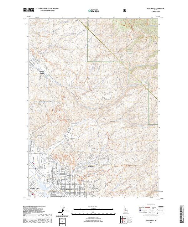
2023 Boise North
Ada County, ID
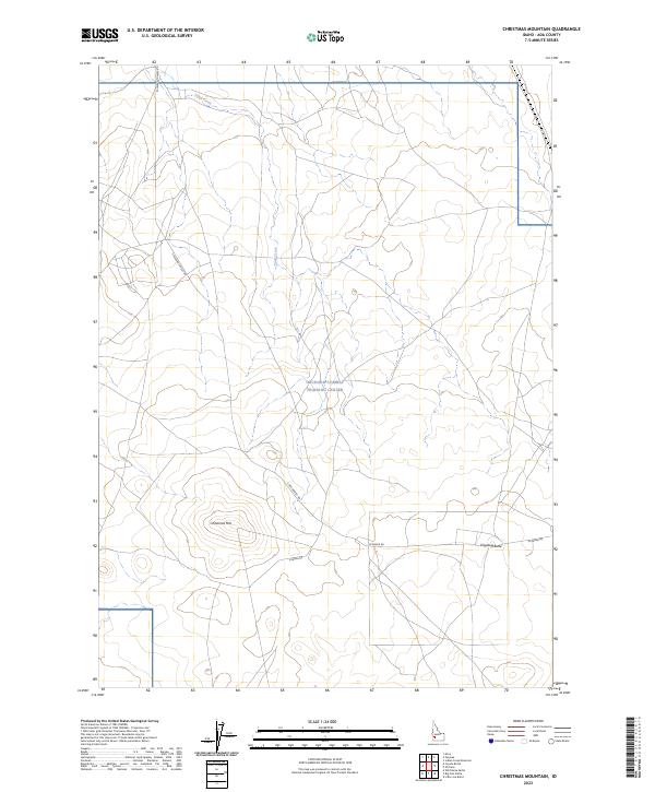
2023 Christmas Mountain
Ada County, ID
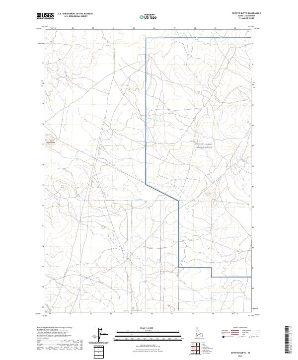
2023 Coyote Butte
Ada County, ID
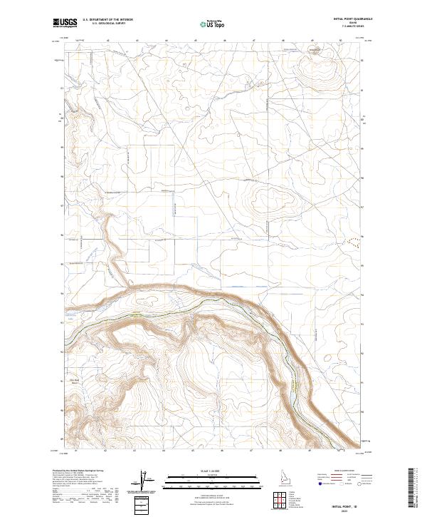
2023 Initial Point
Ada County, ID
2023 Lucky Peak
Ada County, ID
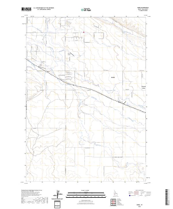
2023 Mora
Ada County, ID
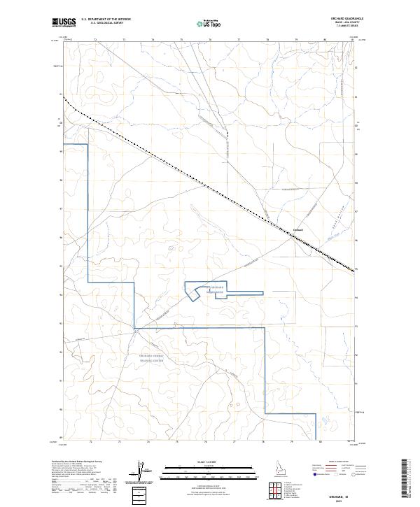
2023 Orchard
Ada County, ID
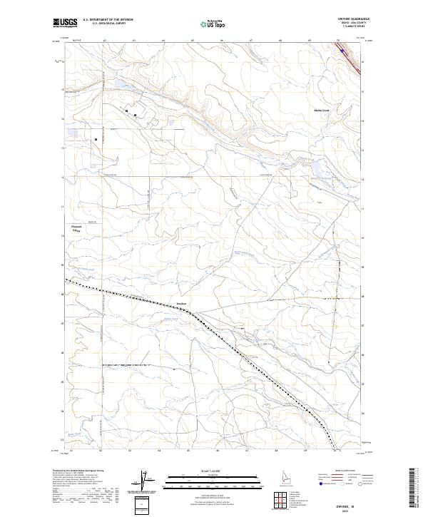
2023 Owyhee
Ada County, ID
2023 Wild Horse Butte
Ada County, ID
2024 Big Foot Butte
Ada County, ID
2024 Boise South
Ada County, ID
2024 Cloverdale
Ada County, ID
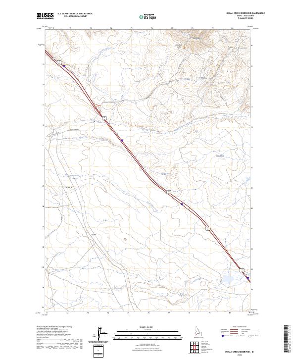
2024 Indian Creek Reservoir
Ada County, ID
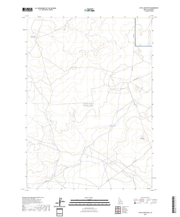
2024 Little Joe Butte
Ada County, ID
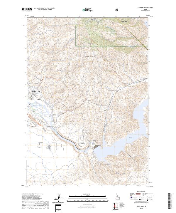
2024 Lucky Peak
Ada County, ID