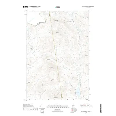
2018 Map of Little Kennebago Lake
USGS Topo · Published 2018About this map
Little Kennebago Lake and the surrounding high country of the Kennebago Divide define this remote section of the Maine wilderness along the international boundary. This landscape is characterized by prominent peaks like Snow Mtn, Bald Pate, and the Twin Mountains, separated by a complex network of brooks and river valleys. The Canada United States Of America border cuts across the northern peaks, where White Cap Mtn stands near the headwaters of the Kennebago River. The transport network is almost exclusively utilitarian, consisting of timber-management routes such as the Beaver Pond Tote Rd, Cupsuptic Tote Rd, and the Wiggle Brook Rd. These roads trace the contours of ridges like Sable Ridge and Cow Ridge, providing access to isolated water bodies including White Cap Pond and Cupsuptic Pond in an area where the topography dictates the flow of every stream and road.
Find a feature on this map
37 named features on this map. Tap any name to fly to it.
Don’t see what you’re looking for? This feature index may not catch every label — zoom into the map to look around manually.
Map Details
Editions of this 2018 Little Kennebago Lake Map
This is the sole edition of this map. No revisions or reprints were ever made.
Other maps of this area

1928 · Chain Lakes
USGS Topo · 1:48,000

1931 · Cupsuptic
USGS Topo · 1:48,000

1932 · Kennebago Lake
USGS Topo · 1:48,000

1932 · Arnold Pond
USGS Topo · 1:48,000

1932 · Chain Lakes
USGS Topo · 1:62,500

1934 · Cupsuptic
USGS Topo · 1:62,500

1935 · Kennebago Lake
USGS Topo · 1:62,500

1935 · Chain Lakes
USGS Topo · 1:62,500

1935 · Cupsuptic
USGS Topo · 1:62,500

1935 · Arnold Pond
USGS Topo · 1:62,500