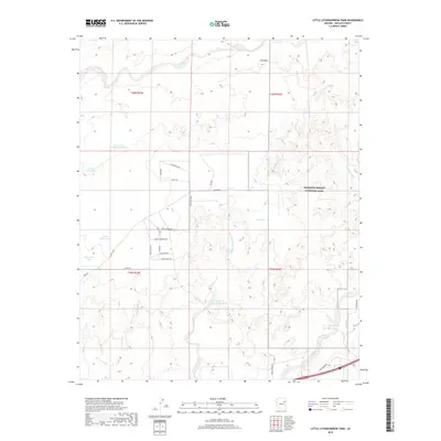
2018 Map of Little Lithodendron Tank
USGS Topo · Published 2018About this map
Petrified Forest National Park occupies the eastern portion of this high-desert landscape in Navajo County. The terrain is defined by a dense network of seasonal drainages, most notably Lithodendron Wash and Little Lithodendron Wash, which channel runoff through the arid basin. Water management is central to the human presence here, evidenced by numerous livestock watering points such as Little Lithodendron Tank, Depot Tank, and Two Section Tank Number Two. In the northwest, Lime Mtn rises above Digger Wash, providing a prominent landmark for the area.
Find a feature on this map
37 named features on this map. Tap any name to fly to it.
Don’t see what you’re looking for? This feature index may not catch every label — zoom into the map to look around manually.
Map Details
Editions of this 2018 Little Lithodendron Tank Map
This is the sole edition of this map. No revisions or reprints were ever made.
Other maps of this area

1883 · Tusayan
USGS Topo · 1:250,000

1886 · St Johns
USGS Topo · 1:250,000

1886 · Tusayan
USGS Topo · 1:250,000

1886 · Fort Defiance
USGS Topo · 1:250,000

1886 · Holbrook
USGS Topo · 1:250,000

1892 · Fort Defiance
USGS Topo · 1:250,000

1892 · St Johns
USGS Topo · 1:250,000

1893 · Holbrook
USGS Topo · 1:250,000

1912 · Petrified Forest
USGS Topo · 1:62,500

1947 · Flagstaff
USGS Topo · 1:250,000