
1983 Map of Little Nasty Creek
USGS Topo · Published 1984About this map
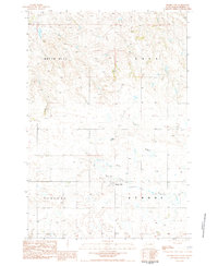
Grand River National Grassland dominates this landscape in Perkins County, where the meandering South Fork Grand River carves a complex path through the prairie. The 1980s terrain is defined by its watercourses, including the namesake Little Nasty Creek and Buck Fork, which intersect with various named township boundaries such as Sidney and Fredlund. The mapping of these drainages, including Murphy Creek, highlights the importance of water management in this arid region, further evidenced by a Gaging Sta located along the river loop.
Find a feature on this map
17 named features on this map. Tap any name to fly to it.
Don’t see what you’re looking for? This feature index may not catch every label — zoom into the map to look around manually.
Map Details
Editions of this 1983 Little Nasty Creek Map
This is the sole edition of this map. No revisions or reprints were ever made.
Other maps of this area

1954 · Lemmon
USGS Topo · 1:250,000

1957 · Lemmon
USGS Topo · 1:250,000

1983 · Grandmas Butte
USGS Topo · 1:24,000

1983 · Cow Butte SE
USGS Topo · 1:24,000

1983 · Lodgepole SE
USGS Topo · 1:24,000

1983 · Prairie City NE
USGS Topo · 1:24,000

1983 · Square Top Butte
USGS Topo · 1:24,000

1983 · Cole Dam
USGS Topo · 1:24,000
1983 · Prairie City
USGS Topo · 1:24,000
1983 · Lodgepole
USGS Topo · 1:24,000