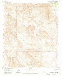
1965 Map of Little Picacho Peak
USGS Topo · Published 1976About this map
Little Picacho Peak stands as the dominant landmark in this arid stretch of Imperial County, California, where the landscape is defined by an intricate network of desert drainages. The eastern edge of the quadrangle is bordered by the Imperial National Wildlife Refuge, marking the transition toward the Colorado River corridor. The interior is largely accessible only by a system of Jeep Trails that wind through the topography, connecting remote mining interests and geological features.
Find a feature on this map
16 named features on this map. Tap any name to fly to it.
Don’t see what you’re looking for? This feature index may not catch every label — zoom into the map to look around manually.
Map Details
Editions of this 1965 Little Picacho Peak Map
2 editions found
Other maps of this area

1903 · Yuma
USGS Topo · 1:125,000

1905 · Yuma
USGS Topo · 1:125,000

1929 · Laguna
USGS Topo · 1:62,500

1939 · Red Hill
USGS Topo · 1:62,500

1942 · Yuma
USGS Topo · 1:250,000

1942 · Blythe
USGS Topo · 1:250,000

1943 · Laguna
USGS Topo · 1:62,500

1945 · Picacho Peak
USGS Topo · 1:62,500

1945 · Picacho
USGS Topo · 1:62,500

1951 · Picacho
USGS Topo · 1:62,500