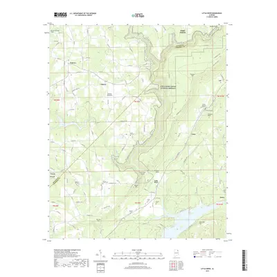
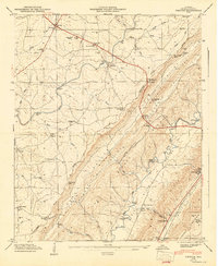
2018 Map of Little River
USGS Topo · Published 2018About this map
Little River Canyon National Preserve dominates the landscape of this 2018 survey, centered on the deep incision of the Little River as it carves through the sandstone plateau of Lookout Mountain. The map details a transition from the high, wooded ridges of Devils Saltcellar Ridge and Shinbone Ridge down to the backwaters of Weiss Lake at the southern margin. This era shows a rural landscape where small settlements like Sigsbee, Dogtown, and Little River are connected by a network of county roads such as the Little River Canyon Pkwy.
Find a feature on this map
128 named features on this map. Tap any name to fly to it.
Don’t see what you’re looking for? This feature index may not catch every label — zoom into the map to look around manually.
Map Details
Editions of this 2018 Little River Map
This is the sole edition of this map. No revisions or reprints were ever made.
Other maps of this area

1893 · Fort Payne
USGS Topo · 1:125,000

1898 · Fort Payne
USGS Topo · 1:125,000

1900 · Fort Payne
USGS Topo · 1:125,000

1936 · Chavies
USGS Topo · 1:24,000

1946 · Portersville
USGS Topo · 1:24,000

1946 · Ft Payne
USGS Topo · 1:24,000
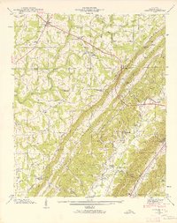
1946 · Chavies
USGS Topo · 1:24,000
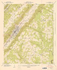
1947 · Ft Payne
USGS Topo · 1:24,000
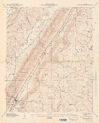
1947 · Portersville
USGS Topo · 1:24,000
1947 · Chavies
USGS Topo · 1:24,000