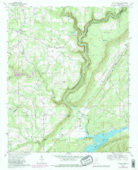
1967 Map of Little River
USGS Topo · Published 1987About this map
Little River Canyon dominates this 1967 survey, carving a deep gorge through the landscape as it winds toward Weiss Lake in the south. The rugged topography of Shinbone Ridge and Dirtseller Mountain creates a natural corridor for the Southern railroad line, while high-altitude settlements like Dog Town and Sigsbee dot the western plateau. This map reveals a community deeply rooted in its local geography, evidenced by the high density of rural churches and family-named cemeteries such as Walkers Chapel, Ruhama Ch, and Starling Cem. The presence of the Little River Wildlife Management Area and Little River State Park indicates a land preserved for public use even as small crossroads like Lickskillet and Congo maintained their local identities along the ridgelines.
Find a feature on this map
48 named features on this map. Tap any name to fly to it.
Don’t see what you’re looking for? This feature index may not catch every label — zoom into the map to look around manually.
Map Details
Editions of this 1967 Little River Map
3 editions found
Other maps of this area

1893 · Fort Payne
USGS Topo · 1:125,000

1898 · Fort Payne
USGS Topo · 1:125,000

1900 · Fort Payne
USGS Topo · 1:125,000

1936 · Chavies
USGS Topo · 1:24,000

1946 · Portersville
USGS Topo · 1:24,000

1946 · Ft Payne
USGS Topo · 1:24,000
1946 · Chavies
USGS Topo · 1:24,000
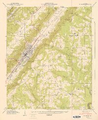
1947 · Ft Payne
USGS Topo · 1:24,000
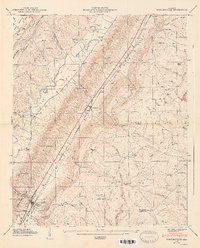
1947 · Portersville
USGS Topo · 1:24,000
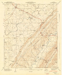
1947 · Chavies
USGS Topo · 1:24,000