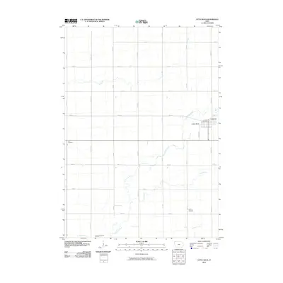
2010 Map of Little Rock
USGS Topo · Published 2010About this map
Little Rock serves as the primary hub in this northwestern Iowa landscape, where the township grid meets the winding course of the Little Rock River. The map highlights several local landmarks critical for genealogical research, including Pleasant View Cemetery, Zion Cemetery, and the Grant Township Cemetery. The community center is anchored by the Little Rock Post Office, with residential streets like Madison Ave and Marsh Ave framing the town.
Find a feature on this map
27 named features on this map. Tap any name to fly to it.
Don’t see what you’re looking for? This feature index may not catch every label — zoom into the map to look around manually.
Map Details
Editions of this 2010 Little Rock Map
This is the sole edition of this map. No revisions or reprints were ever made.
Other maps of this area

1954 · Fairmont
USGS Topo · 1:250,000

1955 · Sioux Falls
USGS Topo · 1:250,000

1958 · Sioux Falls
USGS Topo · 1:250,000

1958 · Fairmont
USGS Topo · 1:250,000

1967 · Rushmore
USGS Topo · 1:24,000

1967 · Adrian SW
USGS Topo · 1:24,000

1967 · Ellsworth
USGS Topo · 1:24,000

1971 · Edna
USGS Topo · 1:24,000

1971 · George West
USGS Topo · 1:24,000

1972 · Ashton
USGS Topo · 1:24,000