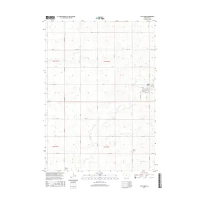
2015 Map of Little Rock
USGS Topo · Published 2015About this map
The town of Little Rock sits near the eastern edge of Lyon County, defined by a grid of agricultural roads and the winding course of the Little Rock River. This landscape reflects a century of Midwestern land management, where section lines like 140th St and Larch Ave dictate the movement of people and commerce between farmsteads. The river and its associated waterways, including Argo Slough and Tom Cr, provide the only deviation from the geometric precision of the township system, creating a distinct riparian corridor through the plains.
Find a feature on this map
42 named features on this map. Tap any name to fly to it.
Don’t see what you’re looking for? This feature index may not catch every label — zoom into the map to look around manually.
Map Details
Editions of this 2015 Little Rock Map
This is the sole edition of this map. No revisions or reprints were ever made.
Other maps of this area

1954 · Fairmont
USGS Topo · 1:250,000

1955 · Sioux Falls
USGS Topo · 1:250,000

1958 · Sioux Falls
USGS Topo · 1:250,000

1958 · Fairmont
USGS Topo · 1:250,000

1967 · Rushmore
USGS Topo · 1:24,000

1967 · Adrian SW
USGS Topo · 1:24,000

1967 · Ellsworth
USGS Topo · 1:24,000

1971 · Edna
USGS Topo · 1:24,000

1971 · George West
USGS Topo · 1:24,000

1972 · Ashton
USGS Topo · 1:24,000