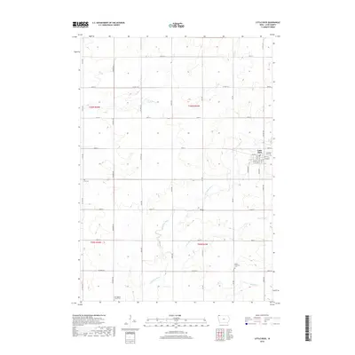
2018 Map of Little Rock
USGS Topo · Published 2018About this map
Little Rock serves as the primary hub for this portion of Lyon County, situated near the headwaters of the Little Rock River. This landscape is defined by its rectilinear grid of township roads and agricultural sections, but the meandering path of Argo Slough and various drainage creeks like Tom Cr break the geometric pattern. For local historians and genealogists, the map is particularly useful for its documentation of rural burial grounds, including the Zion Cem and the First Baptist Church Cem located to the south. The layout of Little Rock itself shows a traditional small-town core anchored by Main St, with residential streets like Leland St and Clothier St forming a tight cluster amidst the surrounding farmland. The presence of Grant Township Cem further east highlights the distributed nature of early settlement in this corner of northwest Iowa.
Find a feature on this map
44 named features on this map. Tap any name to fly to it.
Don’t see what you’re looking for? This feature index may not catch every label — zoom into the map to look around manually.
Map Details
Editions of this 2018 Little Rock Map
This is the sole edition of this map. No revisions or reprints were ever made.
Other maps of this area

1954 · Fairmont
USGS Topo · 1:250,000

1955 · Sioux Falls
USGS Topo · 1:250,000

1958 · Sioux Falls
USGS Topo · 1:250,000

1958 · Fairmont
USGS Topo · 1:250,000

1967 · Rushmore
USGS Topo · 1:24,000

1967 · Adrian SW
USGS Topo · 1:24,000

1967 · Ellsworth
USGS Topo · 1:24,000

1971 · Edna
USGS Topo · 1:24,000

1971 · George West
USGS Topo · 1:24,000

1972 · Ashton
USGS Topo · 1:24,000