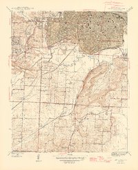
1944 Map of Little Rock
USGS Topo · Published 1946About this map
The State Capitol and the urban core of Little Rock dominate the northern portion of this mid-1940s survey, showing the city's southward expansion toward the Arkansas River and across the Missouri Pacific rail lines. Beyond the city limits, the landscape transitions into the hills and valleys of Brodie and Fourche, where rural life is anchored by family-named landmarks and local institutions like Feltons Store and Liberty Ch.
Find a feature on this map
48 named features on this map. Tap any name to fly to it.
Don’t see what you’re looking for? This feature index may not catch every label — zoom into the map to look around manually.
Map Details
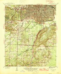
Editions of this 1944 Little Rock Map
2 editions found
Other maps of this area

1891 · Little Rock
USGS Topo · 1:125,000

1893 · Little Rock
USGS Topo · 1:125,000

1935 · Mc Almont
USGS Topo · 1:24,000

1935 · Little Rock
USGS Topo · 1:24,000

1935 · Sweet Home
USGS Topo · 1:24,000

1935 · North Little Rock
USGS Topo · 1:24,000

1935 · Alexander
USGS Topo · 1:48,000

1940 · Woodson
USGS Topo · 1:31,680

1941 · Alexander
USGS Topo · 1:62,500

1943 · Pinnacle Mtn
USGS Topo · 1:31,680
Featured Places
- Little Rock, AR
- North Little Rock, AR
- Brittain, Little Rock
- Yorkwood, Little Rock
- American Manor, Little Rock