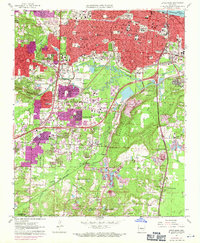
1961 Map of Little Rock
USGS Topo · Published 1971About this map
Little Rock is shown at a pivotal moment of suburban expansion, with purple photorevisions highlighting the rapid growth of neighborhoods like Meadowcliff and Wakefield Village. This 1961 survey, updated through 1970, captures the city's complex urban fabric, from the civic core featuring the State Capitol and Central High Sch to the industrial corridors along the Missouri Pacific and Chicago Rock Island and Pacific railroads. The landscape is dotted with educational and medical institutions, including Philander Smith College, Arkansas Baptist College, and the U of Arkansas Medical Center. Beyond the city limits, the terrain transitions toward Brodie Mountain and Granite Mountain, where Fourche Creek winds through the southern reaches. Local history is deeply etched into the map through numerous cemeteries, such as the Oakland Cemetery and the National Cemetery, alongside recreational landmarks like War Memorial Park and the Little Rock Country Club.
Find a feature on this map
98 named features on this map. Tap any name to fly to it.
Don’t see what you’re looking for? This feature index may not catch every label — zoom into the map to look around manually.
Map Details
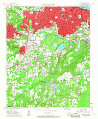
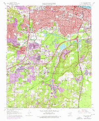
Editions of this 1961 Little Rock Map
3 editions found
Other maps of this area

1891 · Little Rock
USGS Topo · 1:125,000

1893 · Little Rock
USGS Topo · 1:125,000

1935 · Mc Almont
USGS Topo · 1:24,000

1935 · Little Rock
USGS Topo · 1:24,000

1935 · Sweet Home
USGS Topo · 1:24,000

1935 · North Little Rock
USGS Topo · 1:24,000

1935 · Alexander
USGS Topo · 1:48,000

1940 · Woodson
USGS Topo · 1:31,680

1941 · Alexander
USGS Topo · 1:62,500

1943 · Pinnacle Mtn
USGS Topo · 1:31,680
Featured Places
- Little Rock, AR
- North Little Rock, AR
- Brittain, Little Rock
- Yorkwood, Little Rock
- American Manor, Little Rock