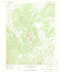
1969 Map of Little Sheep Mountain
USGS Topo · Published 1973About this map
Little Sheep Mountain dominates this portion of the high country along the border of Huerfano and Costilla counties. The topography is defined by the steep drainage systems of Pass Creek and Oak Creek, which flow through a landscape marked by the complex administrative lines of the Sangre De Cristo Grant Bdy. This 1969 field-checked survey reveals a quiet, working mountain environment where a remote Mine and several scattered Water Tanks suggest localized land use amidst the peaks. To the north, the Huerfano River cuts through the terrain, while the southern reaches are accessed by a winding Jeep Trail. The map serves as a primary record of the hydrological network including Yellowstone Creek and the South Fork, documenting the exact water sources and springs vital to this high-altitude geography during the late 1960s.
Find a feature on this map
16 named features on this map. Tap any name to fly to it.
Don’t see what you’re looking for? This feature index may not catch every label — zoom into the map to look around manually.
Map Details
Editions of this 1969 Little Sheep Mountain Map
3 editions found
Other maps of this area

1889 · Huerfano Park
USGS Topo · 1:125,000

1892 · Huerfano Park
USGS Topo · 1:125,000

1954 · Trinidad
USGS Topo · 1:250,000

1955 · Trinidad
USGS Topo · 1:250,000

1958 · Trinidad
USGS Topo · 1:250,000

1959 · Trinidad
USGS Topo · 1:250,000

1963 · La Veta Pass
USGS Topo · 1:24,000
1963 · La Veta
USGS Topo · 1:24,000
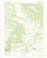
1967 · Creager Reservoir
USGS Topo · 1:24,000
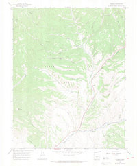
1967 · Russell
USGS Topo · 1:24,000