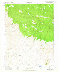
1962 Map of Little Table Mountain
USGS Topo · Published 1963About this map
The San Joaquin Experimental Range occupies the northeastern corner of this landscape, reflecting California's mid-century focus on agricultural research and range management. The terrain is defined by the transition from the high ground of Little Table Mountain and Adobe Hill down toward the valley floor, where the Madera Canal cuts across the southern portion of the map with its associated Siphon.
Find a feature on this map
25 named features on this map. Tap any name to fly to it.
Don’t see what you’re looking for? This feature index may not catch every label — zoom into the map to look around manually.
Map Details
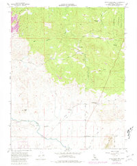
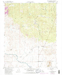
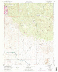
Editions of this 1962 Little Table Mountain Map
4 editions found
Other maps of this area

1912 · Mariposa
USGS Topo · 1:125,000

1916 · Sulphur Springs
USGS Topo · 1:24,000

1919 · Sulphur Springs
USGS Topo · 1:31,680

1919 · Little Table Mountain
USGS Topo · 1:31,680

1921 · Daulton
USGS Topo · 1:31,680

1922 · Lanes Bridge
USGS Topo · 1:31,680

1922 · Friant
USGS Topo · 1:31,680

1922 · Gregg
USGS Topo · 1:31,680

1942 · Raymond
USGS Topo · 1:62,500

1942 · Daulton
USGS Topo · 1:24,000