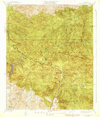
1939 Map of Little Tujunga
USGS Topo · Published 1939About this map
The San Gabriel Mountains dominate this 1930s survey, showing a landscape defined by deep canyons and early twentieth-century mountain homesteading. Scattered throughout the rugged drainage of the Little Tujunga Road and Pacoima Canyon are several established family properties, including the De Mille Ranch, Watts Ranch, and Dillon Ranch. These sites, along with names like Dutch Louie Camp and Chaffin Ranch, reflect a period when the front range was a destination for ranching, retreat, and fire management.
Find a feature on this map
52 named features on this map. Tap any name to fly to it.
Don’t see what you’re looking for? This feature index may not catch every label — zoom into the map to look around manually.
Map Details
Editions of this 1939 Little Tujunga Map
3 editions found
Other maps of this area

1900 · Fernando
USGS Topo · 1:62,500

1901 · Southern California Sheet No. 1
USGS Topo · 1:250,000

1904 · Southern California Sheet No. 1
USGS Topo · 1:250,000

1925 · Sylmar
USGS Topo · 1:24,000
1926 · Sunland
USGS Topo · 1:24,000
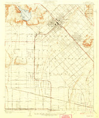
1927 · Pacoima
USGS Topo · 1:24,000
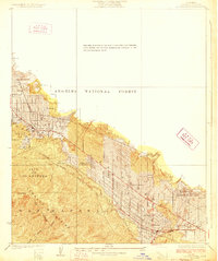
1928 · La Crescenta
USGS Topo · 1:24,000

1928 · Sylmar
USGS Topo · 1:24,000
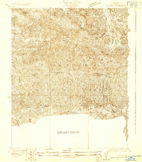
1929 · Sylmar
USGS Topo · 1:24,000

1929 · Lang
USGS Topo · 1:24,000