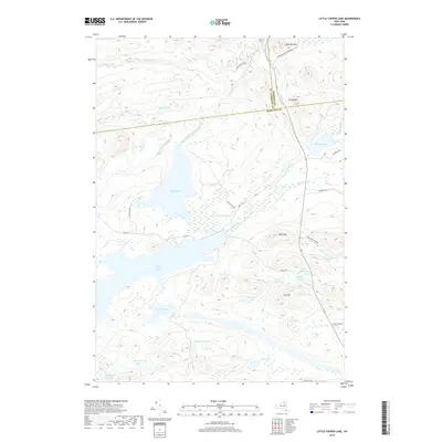
2019 Map of Little Tupper Lake
USGS Topo · Published 2019About this map
Little Tupper Lake and Round Lake dominate this high-altitude landscape within the Adirondack Park Preserve. The topography is defined by significant elevations including Goodman Mtn, Coney Mtn, and Cat Mtn, marking a drainage system where the Boy River and Round Lake Outlet move through a network of smaller basins like Antediluvian Pond and Stony Pond. This 2019 survey documents a region where the boundary lines of Franklin, St. Lawrence, and Hamilton counties converge. The mapping shows a landscape of interconnected water bodies and named peaks, with primitive access via Round Pond Rd and Elk Pond Way. The density of named ponds, such as Doctors Pond and Moonshine Pond, suggests a wilderness deeply utilized for recreation and conservation, situated far from major municipal development.
Find a feature on this map
40 named features on this map. Tap any name to fly to it.
Don’t see what you’re looking for? This feature index may not catch every label — zoom into the map to look around manually.
Map Details
Editions of this 2019 Little Tupper Lake Map
This is the sole edition of this map. No revisions or reprints were ever made.
Other maps of this area

1903 · Raquette Lake
USGS Topo · 1:62,500

1903 · Blue Mountain
USGS Topo · 1:62,500

1904 · Long Lake
USGS Topo · 1:62,500

1907 · Tupper Lake
USGS Topo · 1:62,500

1948 · Ogdensburg
USGS Topo · 1:250,000

1950 · Utica
USGS Topo · 1:250,000

1951 · Ogdensburg
USGS Topo · 1:250,000

1953 · Ogdensburg
USGS Topo · 1:250,000

1954 · Tupper Lake
USGS Topo · 1:62,500

1954 · Blue Mountain
USGS Topo · 1:62,500