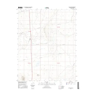
2017 Map of Little Water
USGS Topo · Published 2017About this map
Little Water and the surrounding desert landscape of San Juan County are documented in this 2017 survey, where high-desert arroyos and washes define the movement of water across the terrain. The map records the paths of Sanostee Wash and Tocito Wash as they navigate the varied elevations of the Shiprock Agency region. Distinctive geological landmarks rise from the plateau, including the prominent Ford Butte and the sharp rise of Bennett Peak to the southwest. The presence of Tocito Lake provides a localized water source in an otherwise arid environment characterized by seasonal drainage like the Peña Blanca Arroyo. Transportation in the area relies on an extensive network of Indian Service Routes, such as Indian Svc Rte 5016 and Indian Svc Rte 5092, alongside the primary corridor of Route 491.
Find a feature on this map
23 named features on this map. Tap any name to fly to it.
Don’t see what you’re looking for? This feature index may not catch every label — zoom into the map to look around manually.
Map Details
Editions of this 2017 Little Water Map
This is the sole edition of this map. No revisions or reprints were ever made.
Other maps of this area

1889 · Chaco
USGS Topo · 1:250,000

1892 · Chaco
USGS Topo · 1:250,000

1927 · Sulphur Spring
USGS Topo · 1:96,000

1928 · Kirtland
USGS Topo · 1:125,000

1932 · Kirtland
USGS Topo · 1:125,000

1934 · Ship Rock
USGS Topo · 1:62,500

1937 · Ship Rock
USGS Topo · 1:62,500

1953 · Sanostee
USGS Topo · 1:62,500

1954 · Shiprock
USGS Topo · 1:250,000

1958 · Shiprock
USGS Topo · 1:250,000