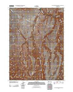
2011 Map of Little Whitehorse Creek
USGS Topo · Published 2011About this map
Sweeney Ranch sits in the northern reaches of this high desert terrain, where the hydrology of the Great Basin dictates the patterns of settlement. In the early 21st century, the landscape remains defined by its drainage systems, with Willow Creek and Whitehorse Creek carving paths through the Malheur County topography. Human presence is sparse, concentrated at outposts like Pole Patch and along the few gravel arteries such as Little Whitehorse Creek Rd and Trout Creek Rd. The presence of Alkali Spring and the converging flows of Little Whitehorse Creek and Fifteenmile Creek illustrate the critical importance of water sources in this arid environment, supporting the livestock and ranching operations that have long characterized this corner of Oregon.
Find a feature on this map
9 named features on this map. Tap any name to fly to it.
Don’t see what you’re looking for? This feature index may not catch every label — zoom into the map to look around manually.
Map Details
Editions of this 2011 Little Whitehorse Creek Map
This is the sole edition of this map. No revisions or reprints were ever made.
Other maps of this area

1955 · Adel
USGS Topo · 1:250,000

1957 · Adel
USGS Topo · 1:250,000

1958 · Adel
USGS Topo · 1:250,000

1962 · Adel
USGS Topo · 1:250,000
1981 · Little Whitehorse Creek
USGS Topo · 1:24,000
1981 · Dry Creek Bench
USGS Topo · 1:24,000
1981 · Red Mountain
USGS Topo · 1:24,000
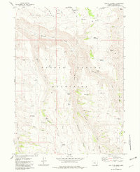
1981 · Doolittle Creek
USGS Topo · 1:24,000
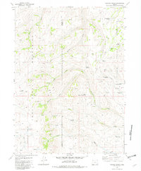
1981 · Chicken Spring
USGS Topo · 1:24,000
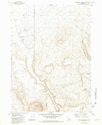
1982 · Whitehorse Ranch
USGS Topo · 1:24,000