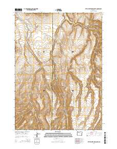
2014 Map of Little Whitehorse Creek
USGS Topo · Published 2014About this map
Little Whitehorse Creek and Whitehorse Cr carve through the high desert of the Trout Creek Mountains in this modern topographic study of southeastern Oregon. The map documents a desolate landscape along the Harney and Malheur County line, where water sources like Smith Spring and Alkali Spring are critical markers in an otherwise arid expanse. Elevation is prominently defined by distinctive landforms such as Whitehorse Butte, Willow Butte, and the high-altitude plateau of Pole Patch. Human imprint is sparse, limited primarily to primitive corridors like White Horse-15 Mile Rd and Trout Creek Rd, which follow the natural drainage patterns of the basins and range. This sheet captures the complex drainage systems of Willow Cr and Fifteenmile Cr, essential for understanding the hydrology of this remote corner of the Great Basin.
Find a feature on this map
19 named features on this map. Tap any name to fly to it.
Don’t see what you’re looking for? This feature index may not catch every label — zoom into the map to look around manually.
Map Details
Editions of this 2014 Little Whitehorse Creek Map
This is the sole edition of this map. No revisions or reprints were ever made.
Other maps of this area

1955 · Adel
USGS Topo · 1:250,000

1957 · Adel
USGS Topo · 1:250,000

1958 · Adel
USGS Topo · 1:250,000

1962 · Adel
USGS Topo · 1:250,000
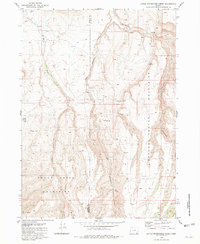
1981 · Little Whitehorse Creek
USGS Topo · 1:24,000
1981 · Dry Creek Bench
USGS Topo · 1:24,000
1981 · Red Mountain
USGS Topo · 1:24,000
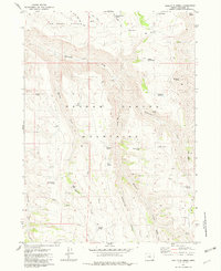
1981 · Doolittle Creek
USGS Topo · 1:24,000
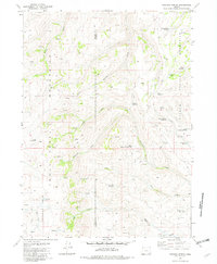
1981 · Chicken Spring
USGS Topo · 1:24,000
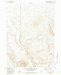
1982 · Whitehorse Ranch
USGS Topo · 1:24,000