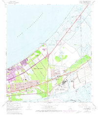
1967 Map of Little Woods
USGS Topo · Published 1973About this map
The industrial and aerospace expansion of New Orleans dominates this coastal landscape along the southern shore of Lake Pontchartrain. At the heart of the region is the massive National Aeronautics and Space Administration facility at Michoud, a site of critical importance during the mid-century space race. The surrounding geography is defined by a complex network of man-made waterways like the Mississippi River Gulf Outlet and Dwyer Canal, which cut through the low-lying wetlands. Growing residential developments such as Village de L'Est and Sherwood Forest appear alongside established institutions including St Maria Goretti Ch and Abramson High Sch. The map documents the transition of this area from marshland and lagoons like Lake Marseille into a hub of federal industry and suburban growth, supported by the Louisville and Nashville railroad and Hayne Blvd.
Find a feature on this map
47 named features on this map. Tap any name to fly to it.
Don’t see what you’re looking for? This feature index may not catch every label — zoom into the map to look around manually.
Map Details
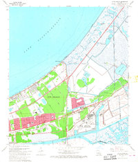
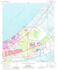
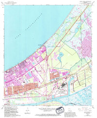
Editions of this 1967 Little Woods Map
4 editions found
Other maps of this area

1891 · Spanish Fort
USGS Topo · 1:62,500

1891 · New Orleans
USGS Topo · 1:62,500

1892 · Chef Menteur
USGS Topo · 1:62,500

1892 · St. Bernard
USGS Topo · 1:62,500

1932 · New Orleans NE
USGS Topo · 1:31,680

1936 · North Shore
USGS Topo · 1:31,680

1936 · South Point
USGS Topo · 1:31,680

1936 · Chef Menteur
USGS Topo · 1:62,500

1936 · Spanish Fort
USGS Topo · 1:62,500

1937 · Chef Menteur
USGS Topo · 1:31,680
Featured Places
- New Orleans, LA
- Michoud, New Orleans
- Idlewood, New Orleans
- Versailles, New Orleans
- Kingswood, New Orleans