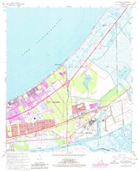
1967 Map of Little Woods
USGS Topo · Published 1980About this map
The edge of New Orleans meets the marshy shores of Lake Pontchartrain in this detailed survey, which illustrates the late 1960s expansion of the city into Orleans Parish. This era is defined by massive infrastructure and drainage efforts, visible in the dense network of waterways like the Little Woods Canal and the Intracoastal Waterway. The most significant industrial landmark is the National Aeronautics and Space Administration facility near Michoud, a centerpiece of the regional economy during the space race.
Find a feature on this map
37 named features on this map. Tap any name to fly to it.
Don’t see what you’re looking for? This feature index may not catch every label — zoom into the map to look around manually.
Map Details
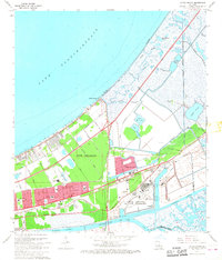
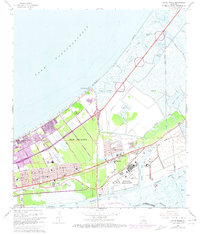
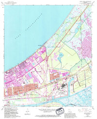
Editions of this 1967 Little Woods Map
4 editions found
Other maps of this area

1891 · Spanish Fort
USGS Topo · 1:62,500

1891 · New Orleans
USGS Topo · 1:62,500

1892 · Chef Menteur
USGS Topo · 1:62,500

1892 · St. Bernard
USGS Topo · 1:62,500

1932 · New Orleans NE
USGS Topo · 1:31,680

1936 · North Shore
USGS Topo · 1:31,680

1936 · South Point
USGS Topo · 1:31,680

1936 · Chef Menteur
USGS Topo · 1:62,500

1936 · Spanish Fort
USGS Topo · 1:62,500

1937 · Chef Menteur
USGS Topo · 1:31,680
Featured Places
- New Orleans, LA
- Michoud, New Orleans
- Idlewood, New Orleans
- Versailles, New Orleans
- Kingswood, New Orleans