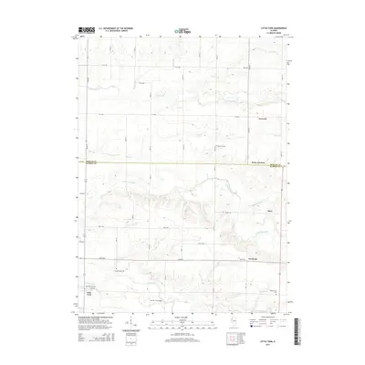
2015 Map of Little York
USGS Topo · Published 2015About this map
Little York and the surrounding agricultural landscapes of Warren and Mercer counties are defined by the intricate drainage systems of Henderson Creek and Cedar Creek. This 2015 survey reveals a pattern of dispersed rural settlements, including Norwood, Shaw, and Woodvale, linked by a grid of numbered avenues and county roads. The landscape is punctuated by numerous burial sites of genealogical interest, such as Brownlee Cem and Spring Grove Cem, which serve as quiet markers of the area's long-standing farming communities.
Find a feature on this map
30 named features on this map. Tap any name to fly to it.
Don’t see what you’re looking for? This feature index may not catch every label — zoom into the map to look around manually.
Map Details
Editions of this 2015 Little York Map
This is the sole edition of this map. No revisions or reprints were ever made.
Other maps of this area

1921 · Monmouth
USGS Topo · 1:62,500

1923 · Monmouth
USGS Topo · 1:62,500

1923 · Alexis
USGS Topo · 1:62,500

1925 · Alexis
USGS Topo · 1:62,500

1934 · Oquawka
USGS Topo · 1:48,000

1935 · Keithsburg
USGS Topo · 1:48,000

1940 · Oquawka
USGS Topo · 1:62,500

1941 · Keithsburg
USGS Topo · 1:62,500

1953 · Viola
USGS Topo · 1:24,000
1953 · Aledo East
USGS Topo · 1:24,000