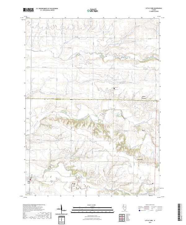
2024 Map of Little York
USGS Topo · Published 2024About this map
The village of Little York serves as the focal point for this agrarian landscape on the border of Warren and Mercer counties. Modern survey data reveals a meticulous grid of township roads such as 260th Ave and Co Hwy 13, which cross a terrain carved by the complex drainage systems of Henderson Creek and its many tributaries, including Middle Henderson Creek and North Henderson Creek. Local family history is preserved in small rural burial grounds like Brownlee Cem and Spring Grove Cem, which remain scattered across the section lines.
Find a feature on this map
51 named features on this map. Tap any name to fly to it.
Don’t see what you’re looking for? This feature index may not catch every label — zoom into the map to look around manually.
Map Details
Editions of this 2024 Little York Map
This is the sole edition of this map. No revisions or reprints were ever made.
Other maps of this area

1921 · Monmouth
USGS Topo · 1:62,500

1923 · Monmouth
USGS Topo · 1:62,500

1923 · Alexis
USGS Topo · 1:62,500

1925 · Alexis
USGS Topo · 1:62,500

1934 · Oquawka
USGS Topo · 1:48,000

1935 · Keithsburg
USGS Topo · 1:48,000

1940 · Oquawka
USGS Topo · 1:62,500

1941 · Keithsburg
USGS Topo · 1:62,500

1953 · Viola
USGS Topo · 1:24,000
1953 · Aledo East
USGS Topo · 1:24,000