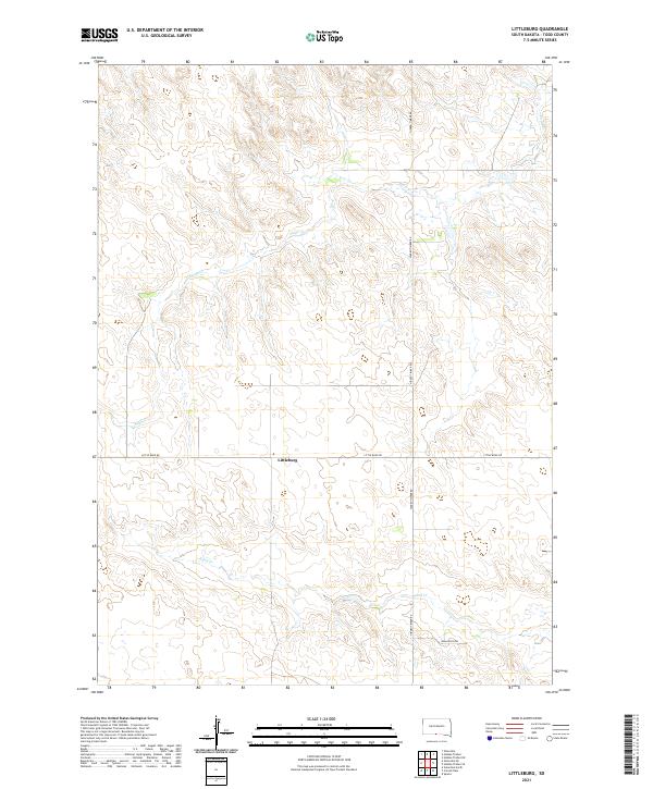
2021 Map of Littleburg
USGS Topo · Published 2021About this map
Littleburg serves as the central focal point of this rural Todd County landscape, situated along the crossing of Little Burg Rd and Hidden Timber Rd. This area of the Rosebud Indian Reservation exhibits a classic Great Plains drainage pattern, where the winding courses of Eagle Cr and Sand Cr cut through the high prairie terrain. The map documents a sparsely populated ranching and farming environment, where the human footprint is defined primarily by section-line roads and named access routes like Dam Ranch Dr. The geographic layout reflects the systematic land surveys of the western United States, with the landscape neatly partitioned into townships including t36n r27w and t35n r26w.
Find a feature on this map
10 named features on this map. Tap any name to fly to it.
Don’t see what you’re looking for? This feature index may not catch every label — zoom into the map to look around manually.
Map Details
Editions of this 2021 Littleburg Map
This is the sole edition of this map. No revisions or reprints were ever made.
Other maps of this area

1950 · Sparks
USGS Topo · 1:62,500

1950 · Valentine
USGS Topo · 1:62,500

1955 · Martin
USGS Topo · 1:250,000

1957 · Valentine
USGS Topo · 1:250,000

1958 · Martin
USGS Topo · 1:250,000

1959 · Valentine
USGS Topo · 1:250,000

1982 · Olsonville
USGS Topo · 1:24,000

1982 · Olsonville SE
USGS Topo · 1:24,000

1982 · Hidden Timber
USGS Topo · 1:24,000

1982 · Hidden Timber SE
USGS Topo · 1:24,000