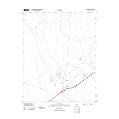
2011 Map of Littlefield
USGS Topo · Published 2011About this map
Virgin River and its accompanying drainage systems define the layout of this Mohave County desert landscape, where the settlements of Littlefield and Beaver Dam are positioned near the confluence of Beaver Dam Wash. The infrastructure of the area is characterized by a mix of historical routes and residential growth, with names like Old Pioneer Rd and Rio Virgin Rd hinting at the early pathways through the valley. Local history is anchored by the Beaver Dam Cemetery and Littlefield Cemetery, both located south of the prominent ranching and residential corridors. The map details the transition from irrigated valley lands to the arid terrain of Figure Four Canyon and Castle Cliff Wash, reflecting a community deeply tied to its water sources and the geography of the Arizona-Utah border region.
Find a feature on this map
21 named features on this map. Tap any name to fly to it.
Don’t see what you’re looking for? This feature index may not catch every label — zoom into the map to look around manually.
Map Details
Editions of this 2011 Littlefield Map
2 editions found
Other maps of this area

1885 · St. George
USGS Topo · 1:250,000

1885 · Pioche
USGS Topo · 1:250,000

1886 · Saint Thomas
USGS Topo · 1:250,000

1886 · Mt. Trumbull
USGS Topo · 1:250,000

1886 · Pioche
USGS Topo · 1:250,000

1891 · St. George
USGS Topo · 1:250,000

1892 · Mt. Trumbull
USGS Topo · 1:250,000

1893 · Saint Thomas
USGS Topo · 1:250,000

1953 · Cedar City
USGS Topo · 1:250,000

1953 · Grand Canyon
USGS Topo · 1:250,000