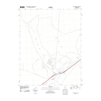
2011 Map of Littlefield
USGS Topo · Published 2011About this map
Littlefield and Beaver Dam occupy the fertile junction where the Beaver Dam Wash meets the Virgin River at the far northwestern edge of Arizona. This 2011 survey documents a settlement pattern defined by the irrigation and transport routes that cut through the arid Virgin Valley. The map highlights a network of local thoroughfares such as Biasi Ranch Rd and Virgin Acres Blvd that serve the residential pockets near the riverbank. Tracing the northern terrain reveals Welcome Creek and the notable Castle Cliff, while the historical path of Old Pioneer Rd suggests long-standing transit corridors through this desert corridor. The topographic data captures the sharp contrast between the active river floodplain and the elevated washes that drain the surrounding basin.
Find a feature on this map
16 named features on this map. Tap any name to fly to it.
Don’t see what you’re looking for? This feature index may not catch every label — zoom into the map to look around manually.
Map Details
Editions of this 2011 Littlefield Map
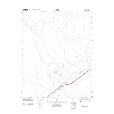
2 editions found
Other maps of this area

1885 · St. George
USGS Topo · 1:250,000

1885 · Pioche
USGS Topo · 1:250,000

1886 · Saint Thomas
USGS Topo · 1:250,000

1886 · Mt. Trumbull
USGS Topo · 1:250,000

1886 · Pioche
USGS Topo · 1:250,000

1891 · St. George
USGS Topo · 1:250,000

1892 · Mt. Trumbull
USGS Topo · 1:250,000

1893 · Saint Thomas
USGS Topo · 1:250,000

1953 · Cedar City
USGS Topo · 1:250,000

1953 · Grand Canyon
USGS Topo · 1:250,000