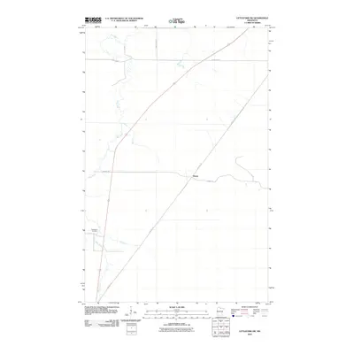
2010 Map of Littlefork SW
USGS Topo · Published 2010About this map
Bear River meanders through this portion of Koochiching County, defining the drainage patterns of a landscape marked by intermittent wetlands and small-scale settlement. The small community of Wisner serves as a local crossroads, where the modern path of the Wisner Trl meets the diagonal route of the Blue Ox Trl. This trail network suggests a historical reliance on established corridors through the northern Minnesota brush and bog. To the southwest, the Waukanaa Cemetery remains a significant landmark for genealogical research, situated near the banks where Hay Creek joins the larger river system. The map also documents the local infrastructure of the early 21st century, including the alignment of County Hwy-77 and County Hwy-14.
Find a feature on this map
8 named features on this map. Tap any name to fly to it.
Don’t see what you’re looking for? This feature index may not catch every label — zoom into the map to look around manually.
Map Details
Editions of this 2010 Littlefork SW Map
This is the sole edition of this map. No revisions or reprints were ever made.
Other maps of this area

1919 · Happy Land
USGS Topo · 1:62,500

1919 · M
USGS Topo · 1:62,500

1919 · Margie
USGS Topo · 1:62,500

1943 · Lindford
USGS Topo · 1:62,500

1954 · International Falls
USGS Topo · 1:250,000

1957 · International Falls
USGS Topo · 1:250,000

1958 · International Falls
USGS Topo · 1:250,000

1970 · Littlefork SE
USGS Topo · 1:24,000
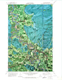
1970 · Littlefork
USGS Topo · 1:24,000

1970 · Littlefork SW
USGS Topo · 1:24,000