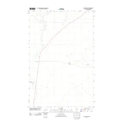
2013 Map of Littlefork SW
USGS Topo · Published 2013About this map
The Bear River meanders through the lowlands of northern Minnesota in this modern topographic study, where the river's winding course is the primary geographical anchor for the sparsely settled terrain. The settlement of Wisner sits at the junction of local paths and more significant travel corridors, including the prominent Us-71 highway. Local transportation and access are further defined by the Wisner Trl, which traverses the eastern half of the area. For those researching local history or family roots, the Waukanaa Cem remains a notable landmark near the riverbanks, offering a fixed point of interest in a landscape otherwise defined by drainage patterns like Hay Cr. This survey illustrates the continued importance of high-ground road systems in the management of these northern wetlands and timberlands.
Find a feature on this map
7 named features on this map. Tap any name to fly to it.
Don’t see what you’re looking for? This feature index may not catch every label — zoom into the map to look around manually.
Map Details
Editions of this 2013 Littlefork SW Map
This is the sole edition of this map. No revisions or reprints were ever made.
Other maps of this area

1919 · Happy Land
USGS Topo · 1:62,500

1919 · M
USGS Topo · 1:62,500

1919 · Margie
USGS Topo · 1:62,500

1943 · Lindford
USGS Topo · 1:62,500

1954 · International Falls
USGS Topo · 1:250,000

1957 · International Falls
USGS Topo · 1:250,000

1958 · International Falls
USGS Topo · 1:250,000

1970 · Littlefork SE
USGS Topo · 1:24,000
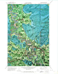
1970 · Littlefork
USGS Topo · 1:24,000

1970 · Littlefork SW
USGS Topo · 1:24,000