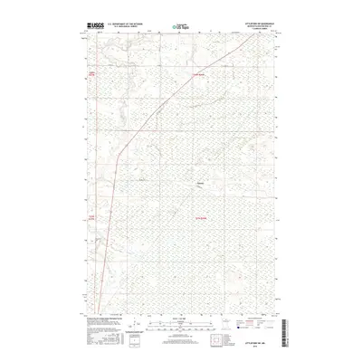
2016 Map of Littlefork SW
USGS Topo · Published 2016About this map
Wisner stands as a focal point in this remote stretch of Koochiching County, where the landscape is defined by vast wetland networks and the winding courses of local waterways. The Bear River meanders through the western half of the terrain, eventually met by the smaller flow of Hay Cr. This area retains a distinctly rural character, with human impact primarily marked by the presence of Co Rd 77 and the Wisner Trl. A singular site of genealogical interest, the Waukanaa Cem, sits near the western boundary along the river valley. The topography is relatively flat, typical of the northern Minnesota peatlands, with subtle elevation changes often dictating the path of drainage and the placement of the few established roads and trails that traverse the township lines.
Find a feature on this map
10 named features on this map. Tap any name to fly to it.
Don’t see what you’re looking for? This feature index may not catch every label — zoom into the map to look around manually.
Map Details
Editions of this 2016 Littlefork SW Map
This is the sole edition of this map. No revisions or reprints were ever made.
Other maps of this area

1919 · Happy Land
USGS Topo · 1:62,500

1919 · M
USGS Topo · 1:62,500

1919 · Margie
USGS Topo · 1:62,500

1943 · Lindford
USGS Topo · 1:62,500

1954 · International Falls
USGS Topo · 1:250,000

1957 · International Falls
USGS Topo · 1:250,000

1958 · International Falls
USGS Topo · 1:250,000

1970 · Littlefork SE
USGS Topo · 1:24,000
1970 · Littlefork
USGS Topo · 1:24,000

1970 · Littlefork SW
USGS Topo · 1:24,000