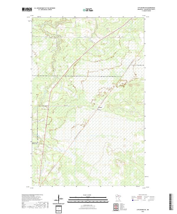
2022 Map of Littlefork SW
USGS Topo · Published 2022About this map
Wisner sits within a landscape defined by the extensive wetlands and winding waterways of northern Koochiching County. The Bear River meanders through the western half of the map, eventually joined by the waters of Hay Creek. This 2022 survey captures the modern infrastructure of the region, where the Blue Ox State Trail follows a diagonal path that likely traces an older transportation corridor across the marshy terrain. Local history is anchored by the Waukanaa Cemetery located near the riverbank, while the presence of the Wisner Trail and several county roads like Co Rd 77 indicates a sparse network of access points through the dense wilderness. The map provides a clear look at the township and range boundaries that have organized this territory since its initial survey.
Find a feature on this map
12 named features on this map. Tap any name to fly to it.
Don’t see what you’re looking for? This feature index may not catch every label — zoom into the map to look around manually.
Map Details
Editions of this 2022 Littlefork SW Map
This is the sole edition of this map. No revisions or reprints were ever made.
Other maps of this area

1919 · Happy Land
USGS Topo · 1:62,500

1919 · M
USGS Topo · 1:62,500

1919 · Margie
USGS Topo · 1:62,500

1943 · Lindford
USGS Topo · 1:62,500

1954 · International Falls
USGS Topo · 1:250,000

1957 · International Falls
USGS Topo · 1:250,000

1958 · International Falls
USGS Topo · 1:250,000

1970 · Littlefork SE
USGS Topo · 1:24,000
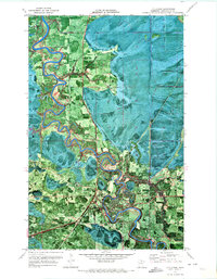
1970 · Littlefork
USGS Topo · 1:24,000

1970 · Littlefork SW
USGS Topo · 1:24,000