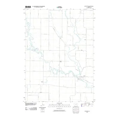
2010 Map of Littleton
USGS Topo · Published 2010About this map
The Wapsipinicon River and Little Wapsipinicon River define this rural landscape in Buchanan County, where their winding courses converge near the settlement of Littleton. The area is characterized by a high density of burial sites that speak to the long-standing community ties of the region, including the Amish Cemetery, Union Cemetery, and Saint Michaels Cemetery. The map also preserves the locations of Barclay and Kier, documenting the persistent rural grid of the early 21st century. Smaller watercourses like Buck Creek, Camp Creek, and Crane Creek thread through the agricultural sections, connecting the various cemeteries and farmsteads. This U.S. Geological Survey output reflects the quiet continuity of eastern Iowa’s river-bottom lands and upland farms just prior to modern expansion.
Find a feature on this map
61 named features on this map. Tap any name to fly to it.
Don’t see what you’re looking for? This feature index may not catch every label — zoom into the map to look around manually.
Map Details
Editions of this 2010 Littleton Map
This is the sole edition of this map. No revisions or reprints were ever made.
Other maps of this area

1901 · Oelwein
USGS Topo · 1:125,000

1903 · Winthrop
USGS Topo · 1:125,000

1954 · Waterloo
USGS Topo · 1:250,000

1955 · Waterloo
USGS Topo · 1:250,000

1959 · Dubuque
USGS Topo · 1:250,000

1961 · Dubuque
USGS Topo · 1:250,000

1962 · Dubuque
USGS Topo · 1:250,000

1971 · Readlyn
USGS Topo · 1:24,000

1971 · Gilbertville
USGS Topo · 1:24,000

1971 · Dunkerton
USGS Topo · 1:24,000