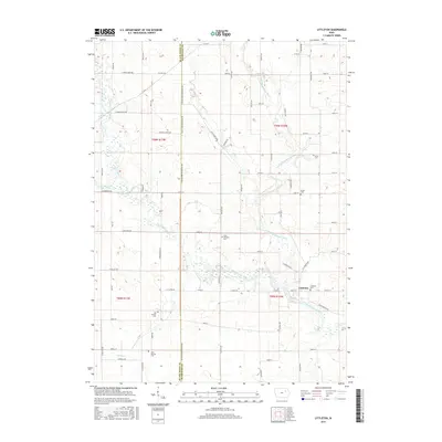
2015 Map of Littleton
USGS Topo · Published 2015About this map
The Wapsipinicon River and its numerous tributaries dominate this Buchanan and Black Hawk County landscape, where the small settlement of Littleton sits at a critical bend in the river. This mid-2010s survey illustrates a region defined by its hydrography, featuring the confluence of the Little Wapsipinicon River, Buck Cr, and Crane Creek. The distribution of cemeteries across the townships provides significant genealogical value, recording the locations of the Old Barclay Cem, New Barclay Cem, and the Amish Cem. The local road network, including Clayton Blvd and Littleton Rd, follows the section lines of the Public Land Survey System, reflecting the organized agricultural layout of the Iowa interior. Smaller watercourses like Camp Cr snake through the southern sections, while the northern reaches are marked by the steady course of the Little Wapsipinicon River as it moves toward its junction with the main channel near the village center.
Find a feature on this map
70 named features on this map. Tap any name to fly to it.
Don’t see what you’re looking for? This feature index may not catch every label — zoom into the map to look around manually.
Map Details
Editions of this 2015 Littleton Map
This is the sole edition of this map. No revisions or reprints were ever made.
Other maps of this area

1901 · Oelwein
USGS Topo · 1:125,000

1903 · Winthrop
USGS Topo · 1:125,000

1954 · Waterloo
USGS Topo · 1:250,000

1955 · Waterloo
USGS Topo · 1:250,000

1959 · Dubuque
USGS Topo · 1:250,000

1961 · Dubuque
USGS Topo · 1:250,000

1962 · Dubuque
USGS Topo · 1:250,000

1971 · Readlyn
USGS Topo · 1:24,000

1971 · Gilbertville
USGS Topo · 1:24,000

1971 · Dunkerton
USGS Topo · 1:24,000