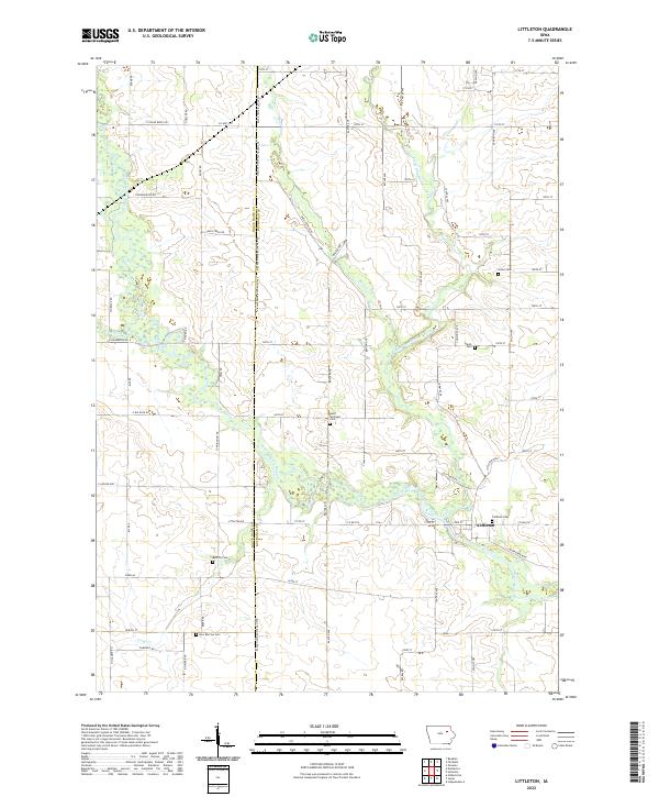
2022 Map of Littleton
USGS Topo · Published 2022About this map
The Wapsipinicon River meanders through the heart of this landscape, defining the rural character of the borderlands between Black Hawk and Buchanan counties. Near the settlement of Littleton, the river converges with the Little Wapsipinicon River, creating a complex network of wetlands and wooded bottoms. This area is characterized by a high concentration of cemeteries that reflect the diverse heritage of its inhabitants, including the Amish Cem and Saint Michaels Cem. Further west, the settlement of Barclay serves as another focal point for local history, supported by the Barclay Cem and New Barclay Cem. The survey meticulously details the section-line roads and family-named routes like Duffy Rd and Cunningham Rd that connect these scattered agrarian communities across the plains.
Find a feature on this map
76 named features on this map. Tap any name to fly to it.
Don’t see what you’re looking for? This feature index may not catch every label — zoom into the map to look around manually.
Map Details
Editions of this 2022 Littleton Map
This is the sole edition of this map. No revisions or reprints were ever made.
Other maps of this area

1901 · Oelwein
USGS Topo · 1:125,000

1903 · Winthrop
USGS Topo · 1:125,000

1954 · Waterloo
USGS Topo · 1:250,000

1955 · Waterloo
USGS Topo · 1:250,000

1959 · Dubuque
USGS Topo · 1:250,000

1961 · Dubuque
USGS Topo · 1:250,000

1962 · Dubuque
USGS Topo · 1:250,000

1971 · Readlyn
USGS Topo · 1:24,000

1971 · Gilbertville
USGS Topo · 1:24,000

1971 · Dunkerton
USGS Topo · 1:24,000