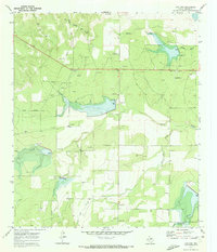
1970 Map of Live Oak
USGS Topo · Published 1973About this map
Live Oak appears as a quiet ranching and resource-extraction landscape in western Texas during the early 1970s. The terrain is defined by a series of intermittent watercourses including Middle Kickapoo Creek in the north and the prominent Brady Creek winding through the center. A network of Oil Wells, Gas Wells, and a prominent Pipeline indicates the mid-century energy development that overlay the traditional agricultural landscape.
Find a feature on this map
18 named features on this map. Tap any name to fly to it.
Don’t see what you’re looking for? This feature index may not catch every label — zoom into the map to look around manually.
Map Details
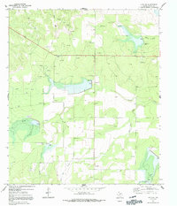
Editions of this 1970 Live Oak Map
2 editions found
Other maps of this area

1892 · San Angelo
USGS Topo · 1:125,000

1892 · Eden
USGS Topo · 1:125,000

1896 · Eden
USGS Topo · 1:125,000

1954 · Brownwood
USGS Topo · 1:250,000

1954 · San Angelo
USGS Topo · 1:250,000

1957 · Eola
USGS Topo · 1:62,500

1958 · San Angelo
USGS Topo · 1:250,000

1965 · San Angelo
USGS Topo · 1:250,000

1967 · Millersview SE
USGS Topo · 1:24,000
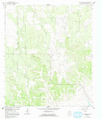
1967 · Millersview SW
USGS Topo · 1:24,000