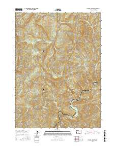
2017 Map of Live Oak Mountain
USGS Topo · Published 2017About this map
Upper Olalla Valley and the small settlement of Peck anchor this survey of the Southern Oregon mountains, where timber and terrain dictate the local landscape. The map is defined by a dense network of logging infrastructure, including the High Flat Rd and the Iron Mtn Mainline, which navigate the steep elevations between Live Oak Mountain and Buck Mtn. Significant natural landmarks such as Snake Rock, Buck Rock, and Table Mtn punctuate the ridges, while the drainages of Olalla Cr and Dads Creek flow toward the larger Cow Creek basin. The inclusion of sites like Horse Prairie and named springs such as Sitting Bear and Horse Heaven Sp offers clear evidence of the area's resource-based history, providing a detailed record of the ridgeline roads and mountain spurs used for forest management and local travel during the early 21st century.
Find a feature on this map
99 named features on this map. Tap any name to fly to it.
Don’t see what you’re looking for? This feature index may not catch every label — zoom into the map to look around manually.
Map Details
Editions of this 2017 Live Oak Mountain Map
This is the sole edition of this map. No revisions or reprints were ever made.
Other maps of this area

1897 · Roseburg
USGS Topo · 1:125,000

1900 · Roseburg
USGS Topo · 1:125,000

1904 · Riddle
USGS Topo · 1:125,000

1928 · Sitkum
USGS Topo · 1:125,000

1946 · Dutchman Butte
USGS Topo · 1:62,500

1948 · Dutchman Butte
USGS Topo · 1:62,500

1954 · Canyonville
USGS Topo · 1:62,500

1955 · Camas Valley
USGS Topo · 1:62,500

1955 · Roseburg
USGS Topo · 1:62,500

1955 · Medford
USGS Topo · 1:250,000