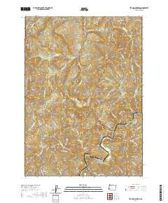
2020 Map of Live Oak Mountain
USGS Topo · Published 2020About this map
Upper Olalla Valley and Horse Prairie characterize this upland landscape within the Umpqua River drainage system. The terrain is defined by a dense network of logging roads and spurs that navigate the steep elevations of Live Oak Mtn and Buck Mtn. Significant watercourses such as Cow Creek and Olalla Cr drain the various ridges, while smaller naming conventions like Dribble Cr and Little Dads Cr indicate the localized importance of these mountain tributaries.
Find a feature on this map
80 named features on this map. Tap any name to fly to it.
Don’t see what you’re looking for? This feature index may not catch every label — zoom into the map to look around manually.
Map Details
Editions of this 2020 Live Oak Mountain Map
This is the sole edition of this map. No revisions or reprints were ever made.
Other maps of this area
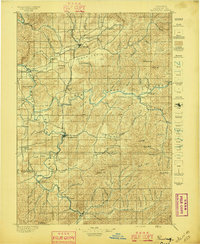
1897 · Roseburg
USGS Topo · 1:125,000
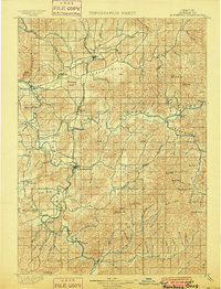
1900 · Roseburg
USGS Topo · 1:125,000
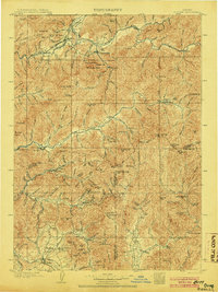
1904 · Riddle
USGS Topo · 1:125,000
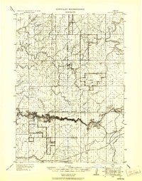
1928 · Sitkum
USGS Topo · 1:125,000
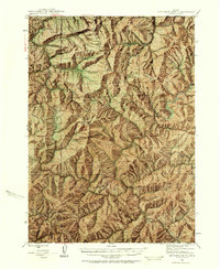
1946 · Dutchman Butte
USGS Topo · 1:62,500
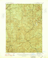
1948 · Dutchman Butte
USGS Topo · 1:62,500
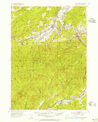
1954 · Canyonville
USGS Topo · 1:62,500
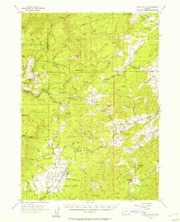
1955 · Camas Valley
USGS Topo · 1:62,500
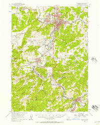
1955 · Roseburg
USGS Topo · 1:62,500
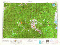
1955 · Medford
USGS Topo · 1:250,000