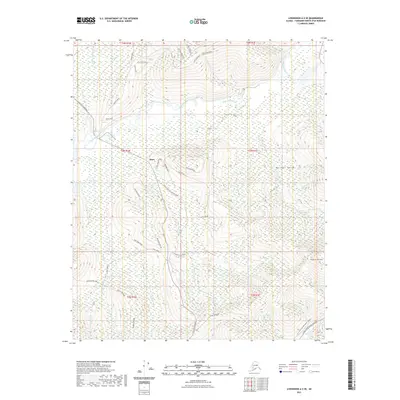
2021 Map of Livengood A-2 SE
USGS Topo · Published 2021About this map
The settlement of Olnes serves as a central point in this Interior Alaska landscape, where the transport infrastructure of the modern era meets the resource-driven paths of the past. The Alaska Pipeline cuts a distinct industrial corridor through the western portion of the map, contrasting with the legacy names of the local gold mining history. Significant topographical prominence is found at Pedro Dome in the southeast, a landmark that overlooks the drainage systems of Last Chance Cr and Pedro Cr.
Find a feature on this map
56 named features on this map. Tap any name to fly to it.
Don’t see what you’re looking for? This feature index may not catch every label — zoom into the map to look around manually.
Map Details
Editions of this 2021 Livengood A-2 SE Map
This is the sole edition of this map. No revisions or reprints were ever made.
Other maps of this area

1945 · Livengood
USGS Topo · 1:250,000

1949 · Fairbanks D-1
USGS Topo · 1:62,500

1949 · Fairbanks D-2
USGS Topo · 1:62,500

1950 · Fairbanks
USGS Topo · 1:250,000

1951 · Fairbanks
USGS Topo · 1:250,000

1951 · Livengood
USGS Topo · 1:250,000

1952 · Fairbanks D-2
USGS Topo · 1:63,360
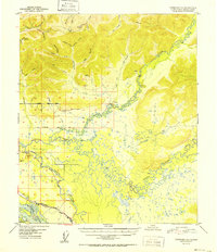
1952 · Fairbanks D-1
USGS Topo · 1:63,360

1952 · Fairbanks
USGS Topo · 1:250,000

1952 · Livengood A-2
USGS Topo · 1:63,360